FloodArea for ArcGIS - geomer GmbH
FloodArea for ArcGIS - geomer GmbH
FloodArea for ArcGIS - geomer GmbH

You also want an ePaper? Increase the reach of your titles
YUMPU automatically turns print PDFs into web optimized ePapers that Google loves.
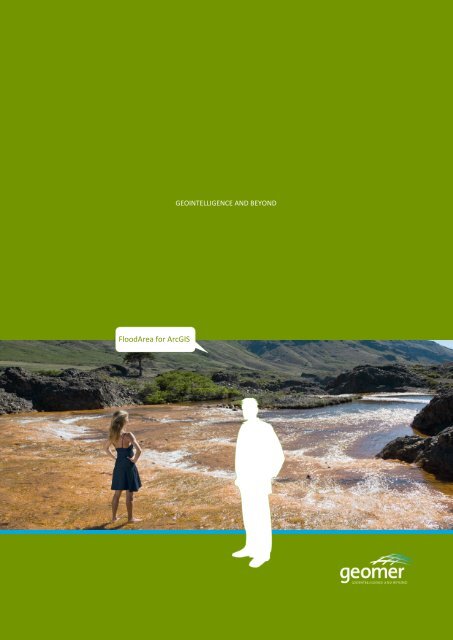
<strong>FloodArea</strong> <strong>for</strong> <strong>ArcGIS</strong><br />
GEOINTELLIGENCE AND BEYOND
<strong>FloodArea</strong> in <strong>ArcGIS</strong> ®<br />
<strong>FloodArea</strong> is a 2D flood modeling tool <strong>for</strong><br />
the delineation of inundation areas –<br />
completely integrated in <strong>ArcGIS</strong>. Since the<br />
first release in 2001 numerous engineer-<br />
ing companies, research institutions, and<br />
public authorities (municipal to national<br />
level) of about 20 countries have confi-<br />
dence in this simulation model.<br />
Main functions<br />
Fully integrated in <strong>ArcGIS</strong> Desktop Applications<br />
(including Model Builder, command<br />
line, and scripting)<br />
Specification of elevation units of your<br />
choice<br />
Model input either by spatially variable<br />
water level or by hydrograph<br />
Easily create and start simulation animations<br />
from within ArcMap<br />
Full consideration of dam failures and<br />
flow barriers<br />
Save intermediate results at intervals of<br />
your choice<br />
Create animation movies in AVI <strong>for</strong>mat<br />
Manage and present your Metadata with<br />
a separate <strong>FloodArea</strong> style sheet<br />
Hydrodynamic Modeling<br />
<strong>FloodArea</strong>: <strong>geomer</strong>‘s simulation and modeling tool <strong>for</strong> high-level flood preparedness<br />
Algorithm<br />
Hydrodynamic approach<br />
Correct mass balance<br />
Automatic optimization of the iteration<br />
time step during model runs<br />
Distance weighted distribution to all 8<br />
neighboring raster cells<br />
Dynamic change of flow direction<br />
Consideration of roughness coefficients<br />
Edges are considered<br />
Application examples<br />
Delineation of inundation areas from<br />
flood marks<br />
Dam failure scenarios<br />
Flood simulation <strong>for</strong> risk analysis and<br />
disaster management<br />
Estimation of flood retention potentials<br />
<strong>FloodArea</strong> HPC -<br />
High Per<strong>for</strong>mance Computing<br />
Modeling flooding scenarios using high<br />
resolution terrain models demands highest<br />
computational per<strong>for</strong>mance. Common<br />
practice is to overcome this problem either<br />
by modeling sub-sections of an area or by<br />
using a lower resolution. In the <strong>FloodArea</strong><br />
Desktop-version per<strong>for</strong>mance is limited by<br />
available workstation memory.<br />
These limitations are now a matter of the<br />
past. Since <strong>FloodArea</strong>-HPC has been introduced,<br />
any number of computers (nodes)<br />
can now be combined to a computing cluster,<br />
whatever the size of your study area<br />
demands. You can increase the memory<br />
virtually to any size and according to your<br />
needs. You can now easily run simulation<br />
models with 500 million raster cells or<br />
more.<br />
In addition to this, <strong>FloodArea</strong> HPC has<br />
been improved by optimizing its algorithmic<br />
core. <strong>FloodArea</strong> HPC supports<br />
Multi-Threading and thus makes full use of<br />
modern Dual- or MultiCore systems, which<br />
further dramatically decreases computation<br />
time. The operational, near real time<br />
simulation of dam or levee failures is now<br />
possible.<br />
Support of additional operating systems<br />
<strong>FloodArea</strong> HPC computing clusters can<br />
comprise of computers running Windows<br />
(XP, Vista), Linux, and Solaris.
If you don’t want to build up your own<br />
computing resources or if you want to<br />
save time <strong>for</strong> solving other problems think<br />
about outsourcing model runs to <strong>geomer</strong>.<br />
You can benefit from our experience and<br />
get best possible results efficiently.<br />
DTM Tool –<br />
Editing and manipulating terrain models<br />
DTM-Tool is set of tools <strong>for</strong> working with<br />
digital terrain models, focusing on their hydrological<br />
and hydraulic properties. DTM-<br />
Tool is the ideal companion <strong>for</strong> <strong>FloodArea</strong>.<br />
Contact us <strong>for</strong> details.<br />
Functions<br />
Hydrologically meaningful resampling,<br />
retain hydrological features of a terrain<br />
Smoothing of a drainage network<br />
Interpolation of a terrain model between<br />
contours<br />
Linear interpolation of voids from surrounding<br />
vales<br />
Import rasters from x,y,z-ASCII files of<br />
any size<br />
Services around <strong>FloodArea</strong><br />
In addition to <strong>FloodArea</strong> <strong>for</strong> <strong>ArcGIS</strong> and<br />
<strong>FloodArea</strong> HPC, we offer a service portfolio<br />
covering many aspects of flooding and associated<br />
issues:<br />
Delineation of static or dynamic hazard<br />
maps<br />
Flood risk analysis <strong>for</strong> communities, including<br />
flash flood related risks<br />
Acquisition, preparation, and enhancement<br />
of related baseline data<br />
Training and capacity building <strong>for</strong> your<br />
own modeling<br />
Computational resources with our own<br />
<strong>FloodArea</strong> HPC cluster<br />
Planning of decentralized flood protection<br />
measures<br />
Contact<br />
<strong>FloodArea</strong> is completely integrated<br />
in <strong>ArcGIS</strong> and thus<br />
helps you saving time!<br />
Dr. André Assmann<br />
Tel +49 (6221) 89458-41<br />
Fax +49 (6221) 89458-79<br />
E-Mail: aassm@<strong>geomer</strong>.de
Product References<br />
Use <strong>FloodArea</strong> and you are in a selected company. Since its introduction<br />
to the market in 2001, customers from different background<br />
are working with <strong>FloodArea</strong>. Some of them are listed below:<br />
Research Institutes<br />
Swiss Federal Institute <strong>for</strong> Environmental Science and Technol-<br />
ogy (EAWAG), Schweiz<br />
Nanjing Institute of Geography and Limnology, Chinese Academy<br />
of Science (NICLAS), China<br />
Umwelt<strong>for</strong>schungszentrum Halle Leipzig<br />
University of the German Army Munich<br />
Zentrum für Agrarlandschafts- und Landnutzungs<strong>for</strong>schung<br />
(ZALF)<br />
Faculté Universitaire des Sciences Agronomiques de Gembloux,<br />
Belgien<br />
Public Autorities<br />
Office of Critical Infrastructure and Protection and Emergency<br />
Preparedness (OCIPEP), Canada<br />
City of Cologne<br />
Instituto Costarricense de Electricidad, Centro de Gestíon Ambi-<br />
ental (ICE), Costa Rica<br />
District of Rastatt<br />
Federal Institute of Hydrology Koblenz<br />
State office <strong>for</strong> environmental protection Saxony-Anhalt<br />
State office <strong>for</strong> water management Rheinland Pfalz<br />
Märkischer Kreis (district)<br />
... and further partners, research institutes, public authorities, reinsurance<br />
and engineering companies ...<br />
Referenzen<br />
<strong>geomer</strong> <strong>GmbH</strong><br />
Im Breitspiel 11 b I D-69126 Heidelberg I Fon +49 (0)6221 89 458-0 I Fax +49 (0)6221 89 458-79 I info@<strong>geomer</strong>.de I www.<strong>geomer</strong>.de