Kort 1 - Duelighed.dk
Kort 1 - Duelighed.dk
Kort 1 - Duelighed.dk

You also want an ePaper? Increase the reach of your titles
YUMPU automatically turns print PDFs into web optimized ePapers that Google loves.
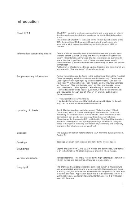
Introduction<br />
Chart INT 1<br />
Information concerning charts<br />
Supplementary information<br />
Updating of charts<br />
Buoyage<br />
Bearings<br />
Soundings<br />
Vertical clearance<br />
Copyright<br />
Chart INT 1 contains symbols, abbreviations and terms used on international<br />
as well as national charts, published by <strong>Kort</strong> & Matrikelstyrelsen<br />
(KMS).<br />
This edition af Chart INT 1 is based on the »Chart Specifications of the<br />
IHO« (International Hydrographic Organization), which came into<br />
force at the XIIth International Hydrographic Conference 1982 in<br />
Monaco.<br />
Details of charts issued by <strong>Kort</strong> & Matrikelstyrelsen are given in index<br />
“Danske søkort” (Danish Charts) and index “Grønlandske og færøske<br />
søkort” (Greenlandic and Faroese Charts). Information on current editions<br />
of the charts and latest print of these are given every year in<br />
“Søkortrettelser” (Chart Corrections) and continuously on www.kms.<strong>dk</strong>/soekortrettelser.<br />
Publication of charts (new editions, updated reprints and new charts) are<br />
announced in “Søkortrettelser” (Chart Corrections).<br />
Further information can be found in the publications ”Behind the Nautical<br />
Chart* (surveying, reliability and use) and in Danish only ”Den danske<br />
Lods”* (generelle oplysninger og farvandsbeskrivelser), ”Den danske<br />
Havnelods”** (erhvervshavne), ”Den færøske Lods”, ”Havneoplysninger<br />
for Færøerne”, ”Den grønlandske Lods” og ”Den grønlandske Havnelods”.<br />
Besides in ”Dansk Fyrliste”, ”Afmærkning af danske farvande”,<br />
”Tidevandstabeller” (Tide Tables) (Danmark, Færøerne and Grønland)<br />
and ”Navigation through Danish Waters” (in English) published by<br />
Farvandsvæsenet.<br />
* Free publikation on www.kms.<strong>dk</strong><br />
** Updated information on all Danish harbours and bridges (in Danish<br />
only) can be found on www.danskehavnelods.<strong>dk</strong><br />
<strong>Kort</strong> & Matrikelstyrelsen publishes weekly “Søkortrettelser” (Chart<br />
Corrections) which in Danish and English describes the corrections<br />
necessary for maintenance of current charts. ”Søkortrettelser”(Chart<br />
Corrections) can also be seen on www.kms.<strong>dk</strong>/soekortrettelser.<br />
Efterretninger for Søfarende (EfS) published by The Royal Danish Administration<br />
of Navigation and Hydrography brings information of significance<br />
to navigation, including information of preliminary and temporary<br />
character. Can also be seen on www.frv.<strong>dk</strong><br />
The buoyage in Danish waters refers to IALA Maritime Buoyage System,<br />
Region A.<br />
Bearings are given from seaward and refer to the true compass.<br />
Depths are given from 0.1 to 20.9 in metres and decimetres, and from 21<br />
to 31 in half metres. All other depths are shown in whole metres.<br />
Vertical clearance is normally refered to the high water level. From 0.1 to<br />
10.0 in metres and decimetres, otherwise in whole metres.<br />
The charts and nautical publications published by <strong>Kort</strong> & Matrikelstyrelsen<br />
are protected according to law on copyright. Reproduction of these<br />
in analog or digital form are not allowed without the permission from <strong>Kort</strong><br />
& Matrikelstyrelsen. Application about this is to be submitted to <strong>Kort</strong> &<br />
Matrikelstyrelsen, Customer Relations, Rentemestervej 8, 2400 København<br />
NV, Denmark.<br />
3