

SiReNT - Coordinates
SiReNT - Coordinates
SiReNT - Coordinates

Create successful ePaper yourself
Turn your PDF publications into a flip-book with our unique Google optimized e-Paper software.
How far we can depend<br />
upon US controlled GPS?<br />
Over the last decade, the NAVSTAR<br />
system (or the GPS) has become an<br />
international navigation aid used by<br />
the US, its allies and others. Shutting<br />
down the system or selectively denying<br />
its use can have political implications<br />
and, as such, appears to be an unlikely<br />
proposition. Moreover, with the<br />
GLONASS becoming operational<br />
and the Galileo programme being in<br />
advanced stages of development, the<br />
US will not be the only one to have<br />
satellite based navigational systems.<br />
Our Government is also actively<br />
engaged in global efforts in this field,<br />
with ISRO actively involved with both<br />
the projects, and we do not foresee any<br />
situation which will bind us to any one<br />
constellation of satellites in the future.<br />
Going by recent statements in the press,<br />
it appears that ISRO is also considering<br />
a regional system using a constellation<br />
of geo-stationary satellites for India.<br />
This would further augment the<br />
facilities provided by existing systems.<br />
Google Earth poses a security<br />
challenge. Comments.<br />
Google Earth uses high resolution<br />
commercially available satellite<br />
imagery. No country can prevent<br />
its adversaries from obtaining these<br />
images from companies such as Space<br />
Imaging. Major international terrorist<br />
organizations have enough financial<br />
backing and resources to procure<br />
such data from commercial vendors<br />
of imagery. Therefore, whilst the<br />
imagery available on Google Earth<br />
do have some security implications,<br />
its geo-information technologies are<br />
being exploited by the community<br />
for interaction and assistance at<br />
people-to-people level in a world<br />
connected through the Internet.<br />
Should India insist on<br />
censorship as China has?<br />
As is well known, the Internet is not<br />
owned by any one country and the<br />
world community would not appreciate<br />
any censorship on it. The services<br />
provided by Google have to be seen<br />
in the context of other web casts and<br />
web logs on other electronic media<br />
portals. Many media publications voice<br />
their views on policies<br />
of the Government on<br />
TV, newspapers and their<br />
websites in our country.<br />
This has not resulted in<br />
the Government of India<br />
imposing censorship<br />
on them. China has a<br />
different political system<br />
as well as the means<br />
to control and monitor<br />
the Internet. It may be<br />
able to impose such a<br />
restriction within their<br />
territory, but have no<br />
jurisdiction on the free<br />
flow of information on the Internet.<br />
Lt Gen Ranjit Singh has<br />
observed that “Security<br />
concerns about maps<br />
are at times overplayed”<br />
(<strong>Coordinates</strong> Jan<br />
2006). Comment.<br />
I am not aware of the exact context in<br />
which the statement was made and,<br />
hence, can not comment on it. Maps<br />
and other forms of geospatial data are<br />
crucial to the process of nation building<br />
and development. The 2004 Tsunami,<br />
the Oct 2005 earthquake in India<br />
and Pakistan, as well as Hurricane<br />
Katrina in USA have demonstrated<br />
that government agencies alone cannot<br />
single-handedly handle relief measures<br />
during disasters of such magnitude.<br />
Nations will have to rely on other<br />
agencies to assist in these measures.<br />
Unless geospatial data is available<br />
to them, and others willing to help,<br />
we will not be able to develop safe<br />
infrastructure or coordinate effective<br />
rescue and relief operations during<br />
times of crisis. Moreover, maps of<br />
numerous types are required for<br />
development purposes. Nonetheless,<br />
those agencies which are mandated<br />
to look into the security implications<br />
relating to mapping are only fulfilling<br />
their responsibilities when they express<br />
concerns and reservations when<br />
commenting upon a more open regime.<br />
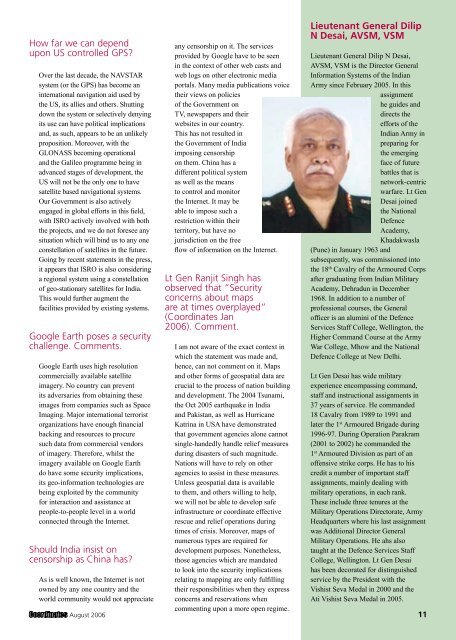
Lieutenant General Dilip<br />
N Desai, AVSM, VSM<br />
Lieutenant General Dilip N Desai,<br />
AVSM, VSM is the Director General<br />
Information Systems of the Indian<br />
Army since February 2005. In this<br />
assignment<br />
he guides and<br />
directs the<br />
efforts of the<br />
Indian Army in<br />
preparing for<br />
the emerging<br />
face of future<br />
battles that is<br />
network-centric<br />
warfare. Lt Gen<br />
Desai joined<br />
the National<br />
Defence<br />
Academy,<br />
Khadakwasla<br />
(Pune) in January 1963 and<br />
subsequently, was commissioned into<br />
the 18 th Cavalry of the Armoured Corps<br />
after graduating from Indian Military<br />
Academy, Dehradun in December<br />
1968. In addition to a number of<br />
professional courses, the General<br />
officer is an alumini of the Defence<br />
Services Staff College, Wellington, the<br />
Higher Command Course at the Army<br />
War College, Mhow and the National<br />
Defence College at New Delhi.<br />
Lt Gen Desai has wide military<br />
experience encompassing command,<br />
staff and instructional assignments in<br />
37 years of service. He commanded<br />
18 Cavalry from 1989 to 1991 and<br />
later the 1 st Armoured Brigade during<br />
1996-97. During Operation Parakram<br />
(2001 to 2002) he commanded the<br />
1 st Armoured Division as part of an<br />
offensive strike corps. He has to his<br />
credit a number of important staff<br />
assignments, mainly dealing with<br />
military operations, in each rank.<br />
These include three tenures at the<br />
Military Operations Directorate, Army<br />
Headquarters where his last assignment<br />
was Additional Director General<br />
Military Operations. He ahs also<br />
taught at the Defence Services Staff<br />
College, Wellington. Lt Gen Desai<br />
has been decorated for distinguished<br />
service by the President with the<br />
Vishist Seva Medal in 2000 and the<br />
Ati Vishist Seva Medal in 2005.<br />
August 2006 11


