GIS: Penang Experience
GIS: Penang Experience
GIS: Penang Experience
SHOW LESS

You also want an ePaper? Increase the reach of your titles
YUMPU automatically turns print PDFs into web optimized ePapers that Google loves.
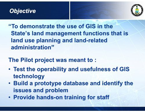
Objective<br />
“To demonstrate the use of <strong>GIS</strong> in the<br />
State’s land management functions that is<br />
land use planning and land-related<br />
administration”<br />
The Pilot project was meant to :<br />
• Test the operability and usefulness of <strong>GIS</strong><br />
technology<br />
• Build a prototype database and identify the<br />
issues and problem<br />
• Provide hands-on training for staff