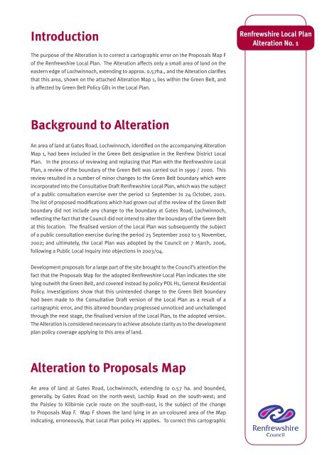
Renfrewshire Local Plan Alteration No. 1 - Renfrewshire Council
Renfrewshire Local Plan Alteration No. 1 - Renfrewshire Council
Renfrewshire Local Plan Alteration No. 1 - Renfrewshire Council

Create successful ePaper yourself
Turn your PDF publications into a flip-book with our unique Google optimized e-Paper software.
Introduction<br />
<strong>No</strong>vember 2007<br />
<strong>Renfrewshire</strong> <strong>Local</strong> <strong>Plan</strong><br />
<strong>Alteration</strong> <strong>No</strong>. 1<br />
The purpose of the <strong>Alteration</strong> is to correct a cartographic error on the Proposals Map F<br />
of the <strong>Renfrewshire</strong> <strong>Local</strong> <strong>Plan</strong>. The <strong>Alteration</strong> affects only a small area of land on the<br />
eastern edge of Lochwinnoch, extending to approx. 0.57ha., and the <strong>Alteration</strong> clarifies<br />
that this area, shown on the attached <strong>Alteration</strong> Map 1, lies within the Green Belt, and<br />
is affected by Green Belt Policy GB1 in the <strong>Local</strong> <strong>Plan</strong>.<br />
Background to <strong>Alteration</strong><br />
An area of land at Gates Road, Lochwinnoch, identified on the accompanying <strong>Alteration</strong><br />
Map 1, had been included in the Green Belt designation in the Renfrew District <strong>Local</strong><br />
<strong>Plan</strong>. In the process of reviewing and replacing that <strong>Plan</strong> with the <strong>Renfrewshire</strong> <strong>Local</strong><br />
<strong>Plan</strong>, a review of the boundary of the Green Belt was carried out in 1999 / 2000. This<br />
review resulted in a number of minor changes to the Green Belt boundary which were<br />
incorporated into the Consultative Draft <strong>Renfrewshire</strong> <strong>Local</strong> <strong>Plan</strong>, which was the subject<br />
of a public consultation exercise over the period 12 September to 24 October, 2001.<br />
The list of proposed modifications which had grown out of the review of the Green Belt<br />
boundary did not include any change to the boundary at Gates Road, Lochwinnoch,<br />
reflecting the fact that the <strong>Council</strong> did not intend to alter the boundary of the Green Belt<br />
at this location. The finalised version of the <strong>Local</strong> <strong>Plan</strong> was subsequently the subject<br />
of a public consultation exercise during the period 25 September 2002 to 5 <strong>No</strong>vember,<br />
2002; and ultimately, the <strong>Local</strong> <strong>Plan</strong> was adopted by the <strong>Council</strong> on 7 March, 2006,<br />
following a Public <strong>Local</strong> Inquiry into objections in 2003/04.<br />
Development proposals for a large part of the site brought to the <strong>Council</strong>’s attention the<br />
fact that the Proposals Map for the adopted <strong>Renfrewshire</strong> <strong>Local</strong> <strong>Plan</strong> indicates the site<br />
lying outwith the Green Belt, and covered instead by policy POL H1, General Residential<br />
Policy. Investigations show that this unintended change to the Green Belt boundary<br />
had been made to the Consultative Draft version of the <strong>Local</strong> <strong>Plan</strong> as a result of a<br />
cartographic error, and this altered boundary progressed unnoticed and unchallenged<br />
through the next stage, the finalised version of the <strong>Local</strong> <strong>Plan</strong>, to the adopted version.<br />
The <strong>Alteration</strong> is considered necessary to achieve absolute clarity as to the development<br />
plan policy coverage applying to this area of land.<br />
<strong>Alteration</strong> to Proposals Map<br />
An area of land at Gates Road, Lochwinnoch, extending to 0.57 ha. and bounded,<br />
generally, by Gates Road on the north-west; Lochlip Road on the south-west; and<br />
the Paisley to Kilbirnie cycle route on the south-east, is the subject of the change<br />
to Proposals Map F. Map F shows the land lying in an un-coloured area of the Map<br />
indicating, erroneously, that <strong>Local</strong> <strong>Plan</strong> policy H1 applies. To correct this cartographic