

Final Lecarrow Village Design Statement - Roscommon County ...
Final Lecarrow Village Design Statement - Roscommon County ...
Final Lecarrow Village Design Statement - Roscommon County ...

Create successful ePaper yourself
Turn your PDF publications into a flip-book with our unique Google optimized e-Paper software.
LECARROW VILLAGE DESIGN STATEMENT<br />
Location and Profile<br />
The village of <strong>Lecarrow</strong> is a rural village<br />
in South <strong>Roscommon</strong>, situated just off the<br />
N61 National Route between Athlone and<br />
<strong>Roscommon</strong>. It is approximately 17km<br />
northwest of Athlone Town and<br />
approximately 15km southeast of<br />
<strong>Roscommon</strong> Town. (See Map 1). It is<br />
situated adjacent to Lough Ree and is<br />
connected to it by <strong>Lecarrow</strong> Canal.<br />
<strong>Lecarrow</strong> is a quiet, attractive village with<br />
much to offer, from it’s pretty harbour and<br />
beautiful landscape to it’s traditional pubs<br />
and contemporary restaurant. Despite the<br />
increased pressure for development in<br />
South <strong>Roscommon</strong> in recent years,<br />
<strong>Lecarrow</strong> has managed to retain its historic<br />
and distinctly rural character. It has a<br />
vibrant heritage enriched by local features<br />
such as the <strong>Lecarrow</strong> Mill, Nellie’s Rock,<br />
the old Courthouse, the old Garda<br />
Barracks, St John’s Wood, Rindoon Castle<br />
and the <strong>Lecarrow</strong> Canal.<br />
<strong>Lecarrow</strong> is identified as a ‘Smaller<br />
Settlement’ (population range 50-300<br />
persons) within Tier 5 of the Settlement<br />
Strategy in the <strong>Roscommon</strong> <strong>County</strong><br />
Development Plan 2008-2014. These<br />
Smaller Settlements act as nodes for<br />
“distinctive quality driven residential<br />
development and essential local<br />
commercial and community services”. It is<br />
envisaged that the future growth of these<br />
villages should be safeguarded so that they<br />
do not act as catalysts to facilitate<br />
continuing expansion of larger urban<br />
centres. It is important that the existing<br />
character of the villages be maintained;<br />
that the local community’s needs in<br />
relation to future development is taken into<br />
consideration; and that new development<br />
should harmonise with the ‘old’ existing<br />
settlement form.<br />
The Historical Development of<br />
<strong>Lecarrow</strong><br />
<strong>Lecarrow</strong> <strong>Village</strong>, ‘An Leath<br />
Ceathru’ (Half quarter) obtained its name<br />
from a pound which was located to the rear<br />
of the old Courthouse in the centre of the<br />
village. Traditionally, a pound was<br />
composed of a half rood of land or a<br />
quarter of an acre. The area referred to was<br />
only a half of a quarter of an acre, hence<br />
the name <strong>Lecarrow</strong>. Historically, this area<br />
was <strong>Lecarrow</strong> and the traditional name for<br />
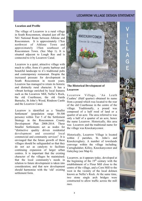
the village was Knockanyconor.<br />
Historically, <strong>Lecarrow</strong> <strong>Village</strong> is located<br />
within 2 parishes, St. John’s and<br />
Knockcroghery. A number of townlands<br />
converge within the village including;<br />
Curraghalaher, Killoy, Knockanyconor and<br />
Galeybeg (see Map 6).<br />
<strong>Lecarrow</strong>, as it appears today, developed at<br />
the beginning of the 19 th century with the<br />
establishment of a Flour Mill close to the<br />
centre of the village, and a Corn Mill to the<br />
west in the vicinity of the local dolmen<br />
known as Nellie’s Rock. At the same time,<br />
two stone single arch bridges were<br />
constructed to allow traffic across the mill<br />
race.<br />
V<br />
I<br />
L<br />
L<br />
A<br />
G<br />
E<br />
C<br />
O<br />
N<br />
T<br />
E<br />
X<br />
T<br />
4


