Elko County Nevada Water Resource Management Plan 2007
Elko County Nevada Water Resource Management Plan 2007
Elko County Nevada Water Resource Management Plan 2007

Create successful ePaper yourself
Turn your PDF publications into a flip-book with our unique Google optimized e-Paper software.
SECTION 1<br />
<strong>Elko</strong> <strong>County</strong> <strong>Water</strong> <strong>Resource</strong> <strong>Management</strong> <strong>Plan</strong><br />
<strong>Plan</strong> Development Information<br />
ELKO COUNTY WATER RESOURCES MANAGEMENT PLAN MISSION STATEMENT<br />
The mission of the <strong>Elko</strong> <strong>County</strong> <strong>Water</strong> <strong>Resource</strong> <strong>Management</strong> <strong>Plan</strong> is to create a comprehensive plan of<br />
<strong>Elko</strong> <strong>County</strong> to protect existing and future water rights and water resources of the general public and<br />
individual land owners. The <strong>Water</strong> <strong>Resource</strong> <strong>Management</strong> <strong>Plan</strong> will ensure that future development in <strong>Elko</strong><br />
<strong>County</strong> is managed and do not result in diverse impacts on our water resources. The <strong>Water</strong> <strong>Resource</strong><br />
<strong>Management</strong> <strong>Plan</strong> is to be created by the public of <strong>Elko</strong> <strong>County</strong> and approved by the Governing Board of<br />
<strong>County</strong> Commissioners for the health, safety and welfare needs of the citizens of <strong>Elko</strong> <strong>County</strong>.<br />
PLANNING DATA CRITERIA OF THE ELKO COUNTY WATER RESOURCE MANAGEMENT PLAN<br />
There are areas of intense development that will require more in-depth comprehensive information and data<br />
areas of low or no development activity will not require comprehensive study. These different areas are<br />
identified, and are established using development patterns and potential land use as the major influence.<br />
The areas include:<br />
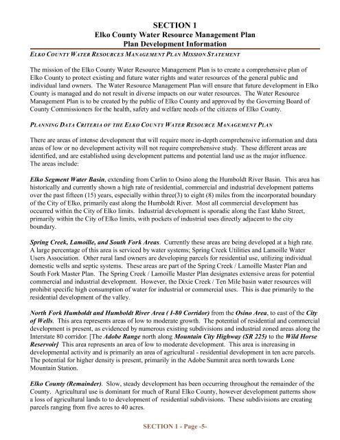
<strong>Elko</strong> Segment <strong>Water</strong> Basin, extending from Carlin to Osino along the Humboldt River Basin. This area has<br />
historically and currently shown a high rate of residential, commercial and industrial development patterns<br />
over the past fifteen (15) years, especially within three(3) to eight (8) miles from the incorporated boundary<br />
of the City of <strong>Elko</strong>, primarily east along the Humboldt River. Most all commercial development has<br />
occurred within the City of <strong>Elko</strong> limits. Industrial development is sporadic along the East Idaho Street,<br />
primarily within the City of <strong>Elko</strong> limits, with pockets of industrial uses directly adjacent to the city<br />
boundary.<br />
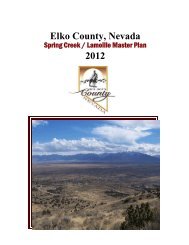
Spring Creek, Lamoille, and South Fork Areas. Currently these areas are being developed at a high rate.<br />
A large percentage of this area is serviced by water systems; Spring Creek Utilities and Lamoille <strong>Water</strong><br />
Users Association. Other rural land owners are developing parcels for residential use, utilizing individual<br />
domestic wells and septic systems. These areas are part of the Spring Creek / Lamoille Master <strong>Plan</strong> and<br />
South Fork Master <strong>Plan</strong>. The Spring Creek / Lamoille Master <strong>Plan</strong> designates extensive areas for potential<br />
commercial and industrial development. However, the Dixie Creek / Ten Mile basin water resources will<br />
prohibit specific high consumption of water for industrial or commercial uses. This is due primarily to the<br />
residential development of the valley.<br />
North Fork Humboldt and Humboldt River Area ( I-80 Corridor) from the Osino Area, to east of the City<br />
of Wells. This area represents areas of low to moderate growth. The potential of residential and commercial<br />
development is present, as evidenced by numerous existing subdivisions and industrial zoned areas along the<br />
Interstate 80 corridor. [The Adobe Range north along Mountain City Highway (SR 225) to the Wild Horse<br />
Reservoir] This area represents an area of low to moderate development. This area is increasing in<br />
developmental activity and is primarily an area of agricultural - residential development in ten acre parcels.<br />
The potential for higher density is present, primarily in the Adobe Summit area north towards Lone<br />
Mountain Station.<br />
<strong>Elko</strong> <strong>County</strong> (Remainder). Slow, steady development has been occurring throughout the remainder of the<br />
<strong>County</strong>. Agricultural use is dominant for much of Rural <strong>Elko</strong> <strong>County</strong>, however development patterns show<br />
a loss of agricultural lands to to development of residential subdivisions. These subdivisions are creating<br />
parcels ranging from five acres to 40 acres.<br />
SECTION 1 - Page -5-