

Lake Erie North Shore Watershed Plan - Niagara Peninsula ...
Lake Erie North Shore Watershed Plan - Niagara Peninsula ...
Lake Erie North Shore Watershed Plan - Niagara Peninsula ...

You also want an ePaper? Increase the reach of your titles
YUMPU automatically turns print PDFs into web optimized ePapers that Google loves.
LAKE ERIE NORTH SHORE WATERSHED PLAN<br />
pockets were characterized by Cattails and Willows. There are a total of 206 recorded<br />
taxa for this study site.<br />
This site is also in part designated as Emerson Road Woodlot /Lowbanks Backshore<br />
PSW Complex. The Gord Harry Conservation Trail also cuts across the top of this<br />
site.<br />
Name: Morgan‟s Point (Brady 1980)<br />
Site ID: WF-21-00-00-00-00<br />
Municipality: Township of Wainfleet<br />
Subwatershed: Casey Drain and Mill Race Creek<br />
Approx. Size: 194 hectares<br />
General Summary: The site is bordered by <strong>Lake</strong> <strong>Erie</strong> to the south, Burnaby Rd. to the<br />
west, CNR tracks to the north, and Golf Course Rd. to the east. The town of Burnaby<br />
lies in the centre of the area. This area comprises 30 hectares of gently rolling terrain<br />
(Brady 1980) and for the most part is characterized by very rich upland forest<br />
communities. The most common was a Sugar Maple, White Ash community with<br />
Staghorn Sumac, and Black Raspberry. Shagbark Hickory was the dominant canopy<br />
species in some areas with an herbaceous layer of White Trillium, Herb Robert and<br />
some Garlic Mustard. Also noted was a very rocky area of the Onondaga Escarpment<br />
with vernal pools associated with changes in microtopography. In this area, the canopy<br />
was more fragmented with many dying White Ash. Some regeneration was noted along<br />
with a thicker shrub layer. There are a total of 209 recorded taxa for this study site.<br />
This site is also in part designated as Burnaby Wainfleet Airport PSW and LSW,<br />
Morgans Point Old Growth Forest, and Morgan’s Point Conservation Area. In<br />
addition, Gord Harry Conservation Trail cuts through a portion of the study site.<br />
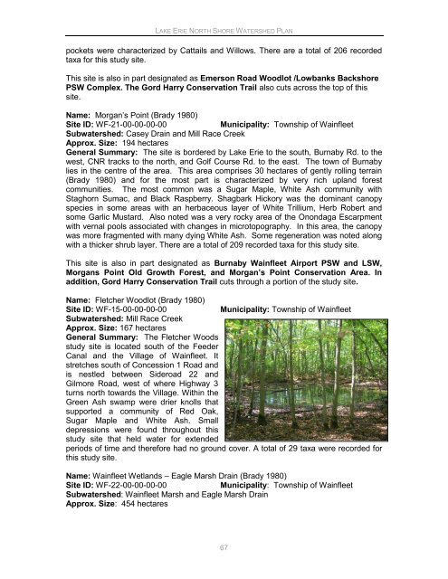
Name: Fletcher Woodlot (Brady 1980)<br />
Site ID: WF-15-00-00-00-00<br />
Municipality: Township of Wainfleet<br />
Subwatershed: Mill Race Creek<br />
Approx. Size: 167 hectares<br />
General Summary: The Fletcher Woods<br />
study site is located south of the Feeder<br />
Canal and the Village of Wainfleet. It<br />
stretches south of Concession 1 Road and<br />
is nestled between Sideroad 22 and<br />
Gilmore Road, west of where Highway 3<br />
turns north towards the Village. Within the<br />
Green Ash swamp were drier knolls that<br />
supported a community of Red Oak,<br />
Sugar Maple and White Ash. Small<br />
depressions were found throughout this<br />
study site that held water for extended<br />
periods of time and therefore had no ground cover. A total of 29 taxa were recorded for<br />
this study site.<br />
Name: Wainfleet Wetlands – Eagle Marsh Drain (Brady 1980)<br />
Site ID: WF-22-00-00-00-00<br />
Municipality: Township of Wainfleet<br />
Subwatershed: Wainfleet Marsh and Eagle Marsh Drain<br />
Approx. Size: 454 hectares<br />
67


