Jacobs - South Florida Regional Planning Council
Jacobs - South Florida Regional Planning Council
Jacobs - South Florida Regional Planning Council

You also want an ePaper? Increase the reach of your titles
YUMPU automatically turns print PDFs into web optimized ePapers that Google loves.
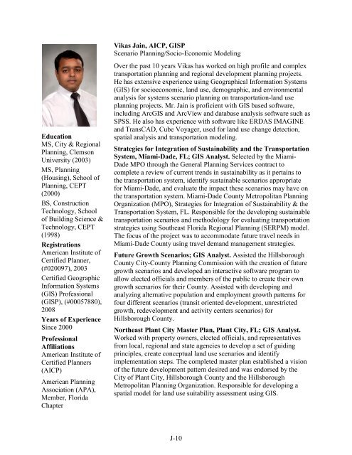
Vikas Jain, AICP, GISP<br />
Scenario <strong>Planning</strong>/Socio-Economic Modeling<br />
Education<br />
MS, City & <strong>Regional</strong><br />
<strong>Planning</strong>, Clemson<br />
University (2003)<br />
MS, <strong>Planning</strong><br />
(Housing), School of<br />
<strong>Planning</strong>, CEPT<br />
(2000)<br />
BS, Construction<br />
Technology, School<br />
of Building Science &<br />
Technology, CEPT<br />
(1998)<br />
Registrations<br />
American Institute of<br />
Certified Planner,<br />
(#020097), 2003<br />
Certified Geographic<br />
Information Systems<br />
(GIS) Professional<br />
(GISP), (#00057880),<br />
2008<br />
Years of Experience<br />
Since 2000<br />
Professional<br />
Affiliations<br />
American Institute of<br />
Certified Planners<br />
(AICP)<br />
American <strong>Planning</strong><br />
Association (APA),<br />
Member, <strong>Florida</strong><br />
Chapter<br />
Over the past 10 years Vikas has worked on high profile and complex<br />
transportation planning and regional development planning projects.<br />
He has extensive experience using Geographical Information Systems<br />
(GIS) for socioeconomic, land use, demographic, and environmental<br />
analysis for systems scenario planning on transportation-land use<br />
planning projects. Mr. Jain is proficient with GIS based software,<br />
including ArcGIS and ArcView and database analysis software such as<br />
SPSS. He also has experience with software like ERDAS IMAGINE<br />
and TransCAD, Cube Voyager, used for land use change detection,<br />
spatial analysis and transportation modeling.<br />
Strategies for Integration of Sustainability and the Transportation<br />
System, Miami-Dade, FL; GIS Analyst. Selected by the Miami-<br />
Dade MPO through the General <strong>Planning</strong> Services contract to<br />
complete a review of current trends in sustainability as it pertains to<br />
the transportation system, identify sustainable scenarios appropriate<br />
for Miami-Dade, and evaluate the impact these scenarios may have on<br />
the transportation system. Miami-Dade County Metropolitan <strong>Planning</strong><br />
Organization (MPO), Strategies for Integration of Sustainability & the<br />
Transportation System, FL. Responsible for the developing sustainable<br />
transportation scenarios and methodology for evaluating transportation<br />
strategies using <strong>South</strong>east <strong>Florida</strong> <strong>Regional</strong> <strong>Planning</strong> (SERPM) model.<br />
The focus of the project was to accommodate future travel needs in<br />
Miami-Dade County using travel demand management strategies.<br />
Future Growth Scenarios; GIS Analyst. Assisted the Hillsborough<br />
County City-County <strong>Planning</strong> Commission with the creation of future<br />
growth scenarios and developed an interactive software program to<br />
allow elected officials and members of the public to create their own<br />
growth scenarios for their County. Assisted with developing and<br />
analyzing alternative population and employment growth patterns for<br />
four different scenarios (transit oriented development, unrestricted<br />
growth, redevelopment and activity centers scenarios) for<br />
Hillsborough County.<br />
Northeast Plant City Master Plan, Plant City, FL; GIS Analyst.<br />
Worked with property owners, elected officials, and representatives<br />
from local, regional and state agencies to develop a set of guiding<br />
principles, create conceptual land use scenarios and identify<br />
implementation steps. The completed master plan established a vision<br />
of the future development pattern desired and was endorsed by the<br />
City of Plant City, Hillsborough County and the Hillsborough<br />
Metropolitan <strong>Planning</strong> Organization. Responsible for developing a<br />
spatial model for land use suitability assessment using GIS.<br />
J-10