Wayfinding Blueprint - Bournemouth
Wayfinding Blueprint - Bournemouth
Wayfinding Blueprint - Bournemouth
Create successful ePaper yourself
Turn your PDF publications into a flip-book with our unique Google optimized e-Paper software.
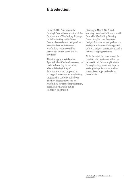
Introduction<br />
In May 2010, <strong>Bournemouth</strong><br />
Borough Council commissioned the<br />
<strong>Bournemouth</strong> <strong>Wayfinding</strong> Strategy.<br />
Initially starting in the Town<br />
Centre, the study was designed to<br />
examine how an integrated<br />
wayfinding system could be<br />
developed for the town and its<br />
environs.<br />
The strategy, undertaken by<br />
Applied, identified and assessed the<br />
main influencing factors that<br />
affected the legibility of<br />
<strong>Bournemouth</strong> and proposed a<br />
strategic framework for wayfinding<br />
projects that could be rolled out.<br />
The first projects focussed on<br />
wayfinding schemes for pedestrian,<br />
cycle, vehicular and public<br />
transport integration.<br />
Starting in March 2012, and<br />
working closely with <strong>Bournemouth</strong><br />
Council’s <strong>Wayfinding</strong> Steering<br />
Group, Applied has developed<br />
designs for an on-street pedestrian<br />
and cycle scheme with integrated<br />
public transport connections, and a<br />
vehicular signage scheme.<br />
At the heart of the system was the<br />
creation of a master map that can<br />
be used in all future applications<br />
for wayfinding, on-street, in print<br />
and digital applications, such as<br />
smartphone apps and website<br />
downloads.<br />
A <strong>Wayfinding</strong> <strong>Blueprint</strong> for <strong>Bournemouth</strong><br />
November 2012<br />
5


