

Glenasmole Roads
Glenasmole Roads
Glenasmole Roads
- No tags were found...

You also want an ePaper? Increase the reach of your titles
YUMPU automatically turns print PDFs into web optimized ePapers that Google loves.
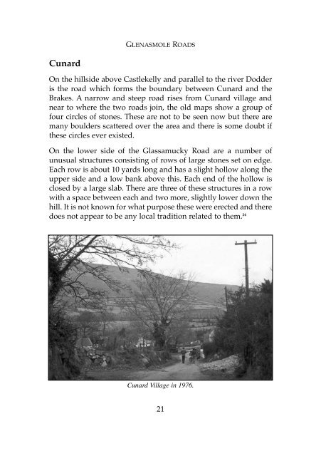
GLENASMOLE ROADSCunardOn the hillside above Castlekelly and parallel to the river Dodderis the road which forms the boundary between Cunard and theBrakes. A narrow and steep road rises from Cunard village andnear to where the two roads join, the old maps show a group offour circles of stones. These are not to be seen now but there aremany boulders scattered over the area and there is some doubt ifthese circles ever existed.On the lower side of the Glassamucky Road are a number ofunusual structures consisting of rows of large stones set on edge.Each row is about 10 yards long and has a slight hollow along theupper side and a low bank above this. Each end of the hollow isclosed by a large slab. There are three of these structures in a rowwith a space between each and two more, slightly lower down thehill. It is not known for what purpose these were erected and theredoes not appear to be any local tradition related to them. 24Cunard Village in 1976.21