Introduction to GIS Learning Objectives Lecture Outline
Introduction to GIS Learning Objectives Lecture Outline
Introduction to GIS Learning Objectives Lecture Outline

You also want an ePaper? Increase the reach of your titles
YUMPU automatically turns print PDFs into web optimized ePapers that Google loves.
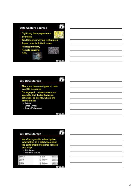
Data Capture Sources• Digitizing from paper maps• Scanning• Traditional surveying techniques• Paper records & field notes• Pho<strong>to</strong>grammetry• Remote sensing• GPS<strong>GIS</strong> Data S<strong>to</strong>rage• There are two main types of datain a <strong>GIS</strong> database• Car<strong>to</strong>graphic - observations onspatially distributed features,activities, or events, which aredefinable as:– Points– Lines (Arcs)– Areas (Polygons)<strong>GIS</strong> Data S<strong>to</strong>rage• Non-Car<strong>to</strong>graphic - descriptiveinformation in a database aboutthe car<strong>to</strong>graphic features locatedon a map– Attributes– Attribute Values4