

Meghalaya - Ministry of Environment and Forests
Meghalaya - Ministry of Environment and Forests
Meghalaya - Ministry of Environment and Forests

Create successful ePaper yourself
Turn your PDF publications into a flip-book with our unique Google optimized e-Paper software.
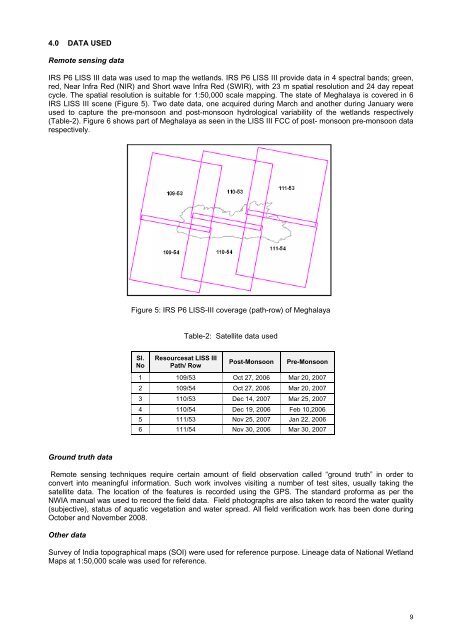
4.0 DATA USEDRemote sensing dataIRS P6 LISS III data was used to map the wetl<strong>and</strong>s. IRS P6 LISS III provide data in 4 spectral b<strong>and</strong>s; green,red, Near Infra Red (NIR) <strong>and</strong> Short wave Infra Red (SWIR), with 23 m spatial resolution <strong>and</strong> 24 day repeatcycle. The spatial resolution is suitable for 1:50,000 scale mapping. The state <strong>of</strong> <strong>Meghalaya</strong> is covered in 6IRS LISS III scene (Figure 5). Two date data, one acquired during March <strong>and</strong> another during January wereused to capture the pre-monsoon <strong>and</strong> post-monsoon hydrological variability <strong>of</strong> the wetl<strong>and</strong>s respectively(Table-2). Figure 6 shows part <strong>of</strong> <strong>Meghalaya</strong> as seen in the LISS III FCC <strong>of</strong> post- monsoon pre-monsoon datarespectively.Figure 5: IRS P6 LISS-III coverage (path-row) <strong>of</strong> <strong>Meghalaya</strong>Table-2: Satellite data usedSl.NoResourcesat LISS IIIPath/ RowPost-MonsoonPre-Monsoon1 109/53 Oct 27, 2006 Mar 20, 20072 109/54 Oct 27, 2006 Mar 20, 20073 110/53 Dec 14, 2007 Mar 25, 20074 110/54 Dec 19, 2006 Feb 10,20065 111/53 Nov 25, 2007 Jan 22, 20066 111/54 Nov 30, 2006 Mar 30, 2007Ground truth dataRemote sensing techniques require certain amount <strong>of</strong> field observation called “ground truth” in order toconvert into meaningful information. Such work involves visiting a number <strong>of</strong> test sites, usually taking thesatellite data. The location <strong>of</strong> the features is recorded using the GPS. The st<strong>and</strong>ard pr<strong>of</strong>orma as per theNWIA manual was used to record the field data. Field photographs are also taken to record the water quality(subjective), status <strong>of</strong> aquatic vegetation <strong>and</strong> water spread. All field verification work has been done duringOctober <strong>and</strong> November 2008.Other dataSurvey <strong>of</strong> India topographical maps (SOI) were used for reference purpose. Lineage data <strong>of</strong> National Wetl<strong>and</strong>Maps at 1:50,000 scale was used for reference.9


