GENE Catalog (aka Grey Book): Class of 2010 - West Point
GENE Catalog (aka Grey Book): Class of 2010 - West Point
GENE Catalog (aka Grey Book): Class of 2010 - West Point
- TAGS
- gene
- catalog
- grey
- class
- www.usma.edu

Create successful ePaper yourself
Turn your PDF publications into a flip-book with our unique Google optimized e-Paper software.
occur around the world. Likewise, humanitarian assistance has been provided in places<br />
such as Haiti, Zaire, Rwanda and Sudan. These examples reflect the diverse array <strong>of</strong> culture<br />
systems and physical environments with which our soldiers must contend. Officers trained<br />
in human geography understand cultural, political, and economic situations and are a<br />
valuable asset to every peacekeeping mission. Environmental geographers can assess the<br />
natural landscape, environmental resources, and human-environment interaction, thus<br />
providing useful information during peacekeeping or disaster relief operations. The<br />
environmental engineer is well suited to meet the demands <strong>of</strong> these situations by providing<br />
safe drinking water, improving sanitary conditions, and mitigating adverse impacts <strong>of</strong><br />
military operations. Finally, all Army units rely on geospatial information.<br />
SUPPORTING MILITARY TRAINING: During peacetime operations, leaders are increasingly<br />
challenged to develop imaginative ways in which to provide tough, realistic training while<br />
sustaining and improving the condition <strong>of</strong> our training areas. In preparing for the unit’s<br />
wartime mission, a geographer’s understanding <strong>of</strong> contingency locations around the world is<br />
useful in developing realistic training conditions. Environmental scientists and engineers<br />
implement policies that support a broad range <strong>of</strong> environmental protection regulations from<br />
resource management to hazardous waste disposal. Using modern geospatial information<br />
sciences and techniques, the spatial distribution <strong>of</strong> key training area resources as well as<br />
potential hazards can be accurately recorded and analyzed.<br />
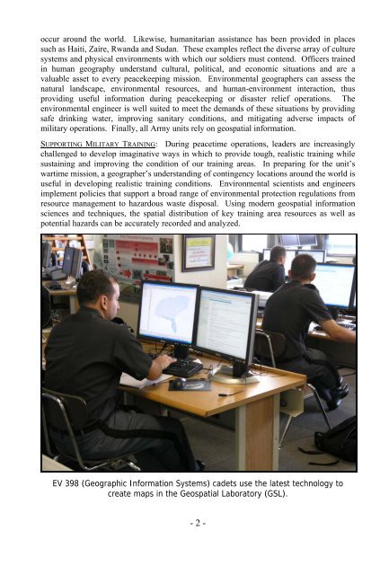
EV 398 (Geographic Information Systems) cadets use the latest technology to<br />
create maps in the Geospatial Laboratory (GSL).<br />
- 2 -