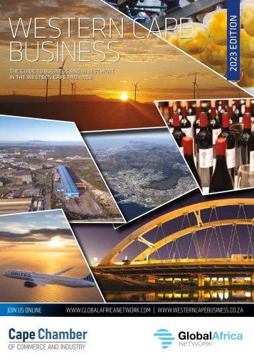
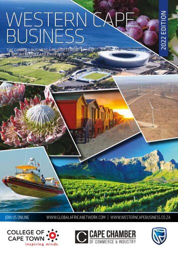
6 MESSAGE WELCOME TO
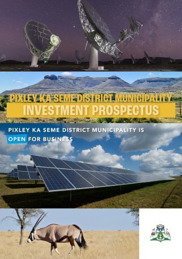
6 MESSAGE WELCOME TO PIXLEY KA SEME DISTRICT MUNICIPALITY The Gabar Goshawk Municipal Manager Mr Isak Visser Tourism investment opportunities abound, writes Municipal Manager Mr Isak Visser, in a District of great natural beauty with magnificent flora and fauna. Tourism is one of the driving forces of our country’s economy. It is a major catalyst of socio-economic transformation in South Africa and one of the most important means for South Africa to build its global brand and image. Early in 2023 Pixley ka Seme District Municipality held Strategic Planning sessions where tourism was unpacked and analysed. Conclusions led to the Pixley ka Seme District Municipality recognising the critical importance of the tourism in the District’s economy and how to further develop it. Pixley ka Seme District Municipality is in a unique biodiversity area of South Africa, with a typical Karoo-type veld. The District Municipality comprises areas classified as Critical Biodiversity Areas (CBA) 1 (7.1%), which are ecosystems intact, and CBA 2 (19.2%), which are ecosystems that are near natural. THE KEY PROVINCIAL/NATIONAL NATURE RESERVES IN THE PIXLEY KA SEME DISTRICT ARE: • Mokala National Park, informally known as the park where endangered species roam, because of its breeding and reallocation of animals for use in other national parks and game reserves. The dramatic shadings of sky pictured here are an everyday event in the park. • Rolfontein Nature Reserve has been in existence since 1970 – 8 000 hectares of mountainous terrain, Karoo plains, little dolerite koppies and densely wooded mountain kloofs. Rolfontein borders on the Vanderkloof Dam. • Doornkloof Nature Reserve is positioned at the top end of the southern shore of the Vanderkloof Dam – South Africa’s second-largest water reservoir. • The Karoo Gariep Conservancy is found on the Karoo “dry and hard” side of the Gariep “big river”. • Platberg-Karoo Conservancy is an important birding area. We invite you to explore our beautiful District and the many investment opportunities offered by the Pixley ka Seme District Municipality, and while in our municipality, enjoy the beauty of its nature and diverse culture.
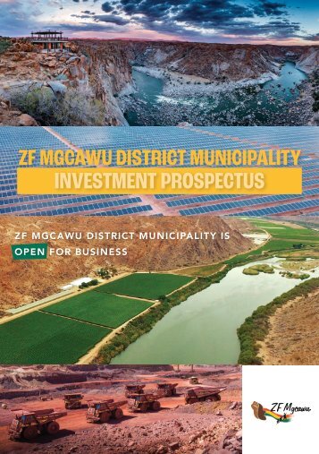
DISTRICT ECONOMY INFRASTRUCTURE AND MAIN SECTORS The staples of agriculture, mining and tourism have been boosted by renewable energy and astronomy. Residents of the Pixley ka Seme District have been successfully farming sheep and irrigated crops, breeding horses and looking after tourists for many decades. Since the first diamond was found in Hopetown on the banks of the Orange River, mining has also been an ever-present activity. All of these activities required intelligence and hard work but the two newest sectors to make an impact are at the cutting-edge of modern technology: solar power and radio astronomy. MAIN ECONOMIC SECTORS The District is the biggest wool producer in South Africa but almost all of the processing is done in the neighbouring Eastern Cape. Dorper and merino sheep predominate. The country has about 15-million sheep and the value of the national clip is about R5-billion annually. About a quarter of the sheep slaughtered in South Africa every year are from the Karoo region. INFRASTRUCTURE The Pixley ka Seme District is well served by infrastructure. De Aar historically played a major role in South Africa’s railway system as the central point where various railway lines would meet and allow for transfers to different destinations. Modern South Africans are puzzled to learn that early meetings of national associations such as the cricket and rugby boards routinely met in the junction town, but that was in the days when the railways were the only ways to beat long distances. De Aar is where the Cape Town-Kimberley main line meets the line from Upington and Namibia and another line from Port Elizabeth. The Gariep Dam and the Vanderkloof Dam are respectively the biggest and second-biggest dams in South Africa. Highways: The N1 highway, the main national route from Cape Town to Johannesburg and beyond, is in the south-eastern part of the District, passing through the towns of Hanover, Richmond and Colesberg on its way north-east. The N12 is a north-westerly alternative to the N1, starting at the great crossroads of Three Sisters, and providing a direct route to Kimberley, and Mafikeng beyond that. The N8, the major east-west route from Kimberley to the West Coast, passes through Schmidtsdrift and Campbell. Airstrips: Many of the towns of the District have airstrips but a call has gone out to redevelop the Aerodrome at Victoria West. This is dealt with in detail elsewhere in this journal. New infrastructure related to the renewable energy sector is being built very quickly. The market is lively and investors are keen. The only constraint is the capacity of the electrical grid. Major initiatives are underway to engage financial institutions, including the New Development Bank, formerly the BRICS Development Bank, to fund an expansion of the national grid. The most sophisticated scientific equipment has been installed in the vicinity of Carnarvon over the last several years and will continue to be installed as the SKA radio telescope project ramps up.