Old Faithful: Yellowstone National Park SW (National Geographic Trails Illustrated Map)
Old Faithful: Yellowstone National Park SW (National Geographic Trails Illustrated Map)
Old Faithful: Yellowstone National Park SW (National Geographic Trails Illustrated Map)

Create successful ePaper yourself
Turn your PDF publications into a flip-book with our unique Google optimized e-Paper software.
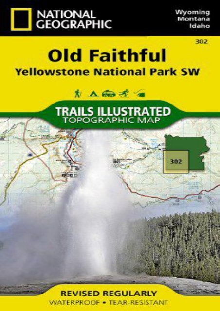
<strong>Old</strong> <strong>Faithful</strong>: <strong>Yellowstone</strong> <strong>National</strong> <strong>Park</strong> <strong>SW</strong> (<strong>National</strong> <strong>Geographic</strong> <strong>Trails</strong> <strong>Illustrated</strong> <strong>Map</strong>) (<strong>National</strong> <strong>Geographic</strong> <strong>Map</strong>s - <strong>Trails</strong> <strong>Illustrated</strong>) • Waterproof • Tear-Resistant • Topographic <strong>Map</strong><strong>National</strong> <strong>Geographic</strong>’s <strong>Trails</strong> <strong>Illustrated</strong> map of the <strong>Old</strong> <strong>Faithful</strong> area of <strong>Yellowstone</strong> <strong>National</strong> <strong>Park</strong> is designed to meet the needs of outdoor enthusiasts with unmatched detail of the south-west section of the national park. Expertly researched and created in partnership with local land management agencies, this map features key points of interest including the <strong>Old</strong> <strong>Faithful</strong> geyser area, the West Thumb of <strong>Yellowstone</strong> Lake, South Entrance Station, West <strong>Yellowstone</strong>, Heart Lake, and John D. Rockefeller Jr. Memorial <strong>Park</strong>way. The Continental Divide Trail is also covered on this map. With many miles of mapped trails and marked Bear Management Zones the <strong>Old</strong> <strong>Faithful</strong> map can guide you off the beaten path and back again. The clearly marked trails include mileages between intersections. The map base includes contour lines and elevations for summits, passes and many lakes. Some of the many recreation features include: visitor centers, campgrounds, trailheads, horse rentals, boat ramps, and interpretive trails.Every <strong>Trails</strong> <strong>Illustrated</strong> map is printed on "Backcountry Tough" waterproof, tear-resistant paper. A full UTM grid is printed on the map to aid with GPS navigation.Other<br />
features found on this map include: Craig Pass, Gallatin <strong>National</strong> Forest, Grand Teton <strong>National</strong> <strong>Park</strong>, Heart Lake, Jedediah Smith Wilderness, John D. Rockefeller, Jr. Memorial <strong>Park</strong>way, Lewis Lake, Mount Sheridan, Pitchstone Plateau, Red Mountains, Shoshone Lake, Targhee <strong>National</strong> Forest, Teton <strong>National</strong> Forest, Teton Wilderness, <strong>Yellowstone</strong> <strong>National</strong> <strong>Park</strong>.<strong>Map</strong> Scale = 1:70,000Sheet Size = 37.75" x 25.5"Folded Size = 4" x 7.5"<br />
<strong>Old</strong> <strong>Faithful</strong>: <strong>Yellowstone</strong> <strong>National</strong><br />
<strong>Park</strong> <strong>SW</strong> (<strong>National</strong> <strong>Geographic</strong><br />
<strong>Trails</strong> <strong>Illustrated</strong> <strong>Map</strong>)