

plaquette-Earthlab-gabon
plaquette-Earthlab-gabon
plaquette-Earthlab-gabon

Create successful ePaper yourself
Turn your PDF publications into a flip-book with our unique Google optimized e-Paper software.
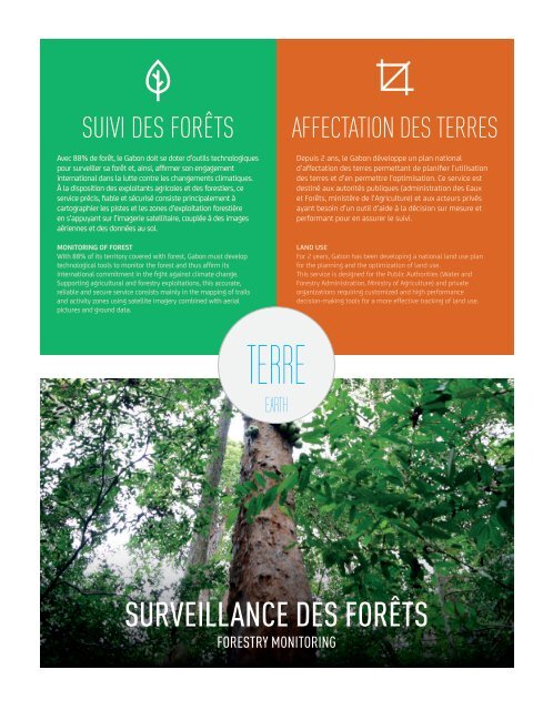
Suivi des forêts<br />
Avec 88% de forêt, le Gabon doit se doter d’outils technologiques<br />
pour surveiller sa forêt et, ainsi, affirmer son engagement<br />
international dans la lutte contre les changements climatiques.<br />
À la disposition des exploitants agricoles et des forestiers, ce<br />
service précis, fiable et sécurisé consiste principalement à<br />
cartographier les pistes et les zones d’exploitation forestière<br />
en s’appuyant sur l’imagerie satellitaire, couplée à des images<br />
aériennes et des données au sol.<br />
Monitoring of Forest<br />
With 88% of its territory covered with forest, Gabon must develop<br />
technological tools to monitor the forest and thus affirm its<br />
international commitment in the fight against climate change.<br />
Supporting agricultural and forestry exploitations, this accurate,<br />
reliable and secure service consists mainly in the mapping of trails<br />
and activity zones using satellite imagery combined with aerial<br />
pictures and ground data.<br />
Affectation des Terres<br />
Depuis 2 ans, le Gabon développe un plan national<br />
d’affectation des terres permettant de planifier l’utilisation<br />
des terres et d’en permettre l’optimisation. Ce service est<br />
destiné aux autorités publiques (administration des Eaux<br />
et Forêts, ministère de l’Agriculture) et aux acteurs privés<br />
ayant besoin d’un outil d’aide à la décision sur mesure et<br />
performant pour en assurer le suivi.<br />
Land use<br />
For 2 years, Gabon has been developing a national land use plan<br />
for the planning and the optimization of land use.<br />
This service is designed for the Public Authorities (Water and<br />
Forestry Administration, Ministry of Agriculture) and private<br />
organizations requiring customized and high performance<br />
decision-making tools for a more effective tracking of land use.<br />
terre<br />
EARTH<br />
SURVEILLANCE DES FORÊTS<br />
FORESTRY MONITORING