


You also want an ePaper? Increase the reach of your titles
YUMPU automatically turns print PDFs into web optimized ePapers that Google loves.
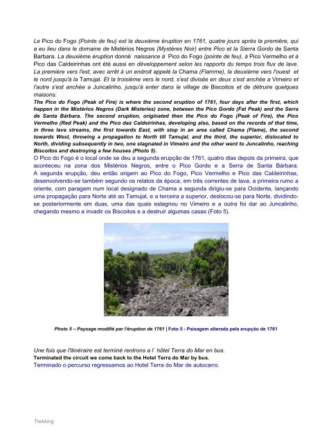
Le Pico <strong>do</strong> Fogo (Pointe de feu) est la deuxième éruption en 1761, quatre jours après la première, qui<br />
a eu lieu dans le <strong>do</strong>maine de Mistérios Negros (Mystères Noir) entre Pico et la Sierra Gor<strong>do</strong> de Santa<br />
Barbara. La deuxième éruption <strong>do</strong>nné naissance à Pico <strong>do</strong> Fogo (pointe de feu), à Pico Vermelho et à<br />
Pico das Caldeirinhas ont été aussi en développement selon les rapports du temps trois flux de lave.<br />
La première vers l'est, avec arrêt à un endroit appelé la Chama (Flamme), la deuxième vers l'ouest et<br />
le nord jusqu'à la Tamujal. Et la troisième vers le nord, s’est divisée en deux s’est anchée a Vimeiro et<br />
l'autre s’est anchée a Juncalinho, jusqu'à enter dans le village de Biscoitos et de détruire quelques<br />
maisons.<br />
The Pico <strong>do</strong> Fogo (Peak of Fire) is where the second eruption of 1761, four days after the first, which<br />
happen in the Mistérios Negros (Dark Misteries) zone, between the Pico Gor<strong>do</strong> (Fat Peak) and the Serra<br />
de Santa Bárbara. The second eruption, originated then the Pico <strong>do</strong> Fogo (Peak of Fire), the Pico<br />
Vermelho (Red Peak) and the Pico das Caldeirinhas, developing also, based on the records of that time,<br />
in three lava streams, the first towards East, with stop in an area called Chama (Flame), the second<br />
towards West, throwing a propagation to North till Tamujal, and the third, the superior, dislocated to<br />
North, dividing subsequently in two, one stagnated in Vimeiro and the other went to Juncalinho, reaching<br />
Biscoitos and destroying a few houses (Photo 5).<br />
O Pico <strong>do</strong> Fogo é o local onde se deu a segunda erupção de 1761, quatro dias depois da primeira, que<br />
aconteceu na zona <strong>do</strong>s Mistérios Negros, entre o Pico Gor<strong>do</strong> e a Serra de Santa Bárbara.<br />
A segunda erupção, deu então origem ao Pico <strong>do</strong> Fogo, Pico Vermelho e Pico das Caldeirinhas,<br />
desenvolven<strong>do</strong>-se também segun<strong>do</strong> os relatos da época, em três correntes de lava, a primeira rumo a<br />
oriente, com paragem num local designa<strong>do</strong> de Chama a segunda dirigiu-se para Ocidente, lançan<strong>do</strong><br />
uma propagação para Norte até ao Tamujal, e a terceira a superior, deslocou-se para Norte, dividin<strong>do</strong>se<br />
posteriormente em duas, uma das quais estagnou no Vimeiro e a outra foi dar ao Juncalinho,<br />
chegan<strong>do</strong> mesmo a invadir os Biscoitos e a destruir algumas casas (Foto 5).<br />
Trekking<br />
Photo 5 – Paysage modifié par l'éruption de 1761 | Foto 5 - Paisagem alterada pela erupção de 1761<br />
Une fois que l'itinéraire est terminé rentrons a l´ hôtel <strong>Terra</strong> <strong>do</strong> <strong>Mar</strong> en bus.<br />
Terminated the circuit we come back to the Hotel <strong>Terra</strong> <strong>do</strong> <strong>Mar</strong> by bus.<br />
Termina<strong>do</strong> o percurso regressamos ao Hotel <strong>Terra</strong> <strong>do</strong> <strong>Mar</strong> de autocarro.