innovating communications - CTTC
innovating communications - CTTC
innovating communications - CTTC
You also want an ePaper? Increase the reach of your titles
YUMPU automatically turns print PDFs into web optimized ePapers that Google loves.
Vision and Mission_Statement of the Director_Organization and Management_Research and Demostration_Business Development_Intellectual Property Rights_<br />
Highlights 2007_Research Projects_Technology transfer_Training activities_Partnerships, Cooperation and Communication_Publications_Financial Report<br />
36<br />
Carles Fernández, PhD_Research Associate_Communications Subsystems<br />
2006ITT-10003 CTP-TeSa<br />
Started: January 2007<br />
Duration: 24 Months<br />
Volume: 6 person-month<br />
Budget: 66,000 euros<br />
Funding: 39 % from Autonoms of Government of Catalonia (AGAUR)<br />
Project manager: Carles Fernández (<strong>CTTC</strong>)<br />
Partners:<br />
TeSA, France<br />
SatconXion, Spain<br />
M3Systems, France<br />
Institute National Polytechnique de Toulouse (INPT), France<br />
Advanced positioning algorithms for Global Navigation Satellite Systems<br />
Positioning systems are based on time delay and frequency-shift estimation of the<br />
incoming signals in the receiver side. Sources of accuracy degradation in satellite-based<br />
navigation systems are well-known, and their mitigation has deserved the attention of<br />
a number of researchers in latter times. While atmospheric-dependant sources (delays<br />
that depend on the ionosphere and troposphere conditions) can be greatly mitigated<br />
by differential systems external to the receiver’s operation, the multipath effect is<br />
location-dependant and remains as the most important cause of accuracy degradation<br />
in time delay estimation, and consequently in position estimation, becoming a signal<br />
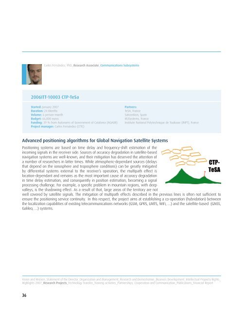
processing challenge. For example, a specific problem in mountain regions, with deep<br />
valleys, is the shadowing effect. As a result of that, large areas of the territory are not<br />
well covered by satellite signals. The mitigation of multipath effects described in the previous lines is often not sufficient to<br />
ensure the positioning service continuity. In this respect, the project aims at establishing a co-operation (hybridation) between<br />
the localization capabilities of existing tele<strong>communications</strong> networks (GSM, GPRS, UMTS, WiFi, …) and the satellite-based (GNSS,<br />
Galileo, …) systems.


