

Using Python with ArcGIS
Using Python with ArcGIS
Using Python with ArcGIS

Create successful ePaper yourself
Turn your PDF publications into a flip-book with our unique Google optimized e-Paper software.
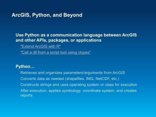
<strong>ArcGIS</strong>, <strong>Python</strong>, and Beyond<br />
Use <strong>Python</strong> as a communication language between <strong>ArcGIS</strong><br />
and other APIs, packages, or applications<br />
"Extend <strong>ArcGIS</strong> <strong>with</strong> R"<br />
"Call a dll from a script tool using ctypes"<br />
<strong>Python</strong>…<br />
Retrieves and organizes parameters/arguments from <strong>ArcGIS</strong><br />
Converts data as needed (shapefiles, IMG, NetCDF, etc.)<br />
Constructs strings and uses operating system or class for execution<br />
After execution, applies symbology, coordinate system, and creates<br />
reports