

positioning - Coordinates
positioning - Coordinates
positioning - Coordinates

You also want an ePaper? Increase the reach of your titles
YUMPU automatically turns print PDFs into web optimized ePapers that Google loves.
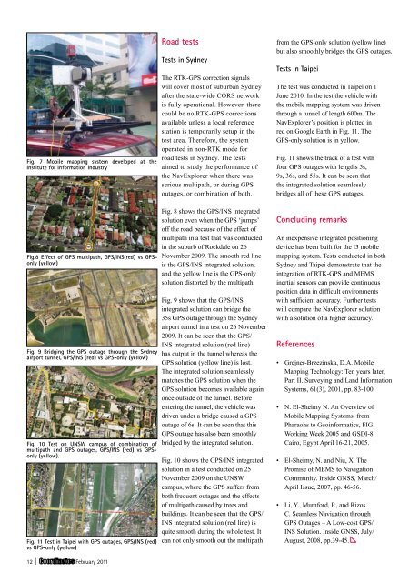
Fig. 7 Mobile mapping system developed at the<br />
Institute for Information Industry<br />
Fig.8 effect of Gps multipath, Gps/Ins(red) vs Gpsonly<br />
(yellow)<br />
Fig. 9 Bridging the Gps outage through the sydney<br />
airport tunnel, Gps/Ins (red) vs Gps-only (yellow)<br />
Fig. 10 test on UnsW campus of combination of<br />
multipath and Gps outages, Gps/Ins (red) vs Gpsonly<br />
(yellow).<br />
Fig. 11 test in taipei with Gps outages, Gps/Ins (red)<br />
vs Gps-only (yellow)<br />
12 | February 2011<br />
Road tests<br />
tests in sydney<br />
The RTK-GPS correction signals<br />
will cover most of suburban Sydney<br />
after the state-wide CORS network<br />
is fully operational. However, there<br />
could be no RTK-GPS corrections<br />
available unless a local reference<br />
station is temporarily setup in the<br />
test area. Therefore, the system<br />
operated in non-RTK mode for<br />
road tests in Sydney. The tests<br />
aimed to study the performance of<br />
the NavExplorer when there was<br />
serious multipath, or during GPS<br />
outages, or combination of both.<br />
Fig. 8 shows the GPS/INS integrated<br />
solution even when the GPS ‘jumps’<br />
off the road because of the effect of<br />
multipath in a test that was conducted<br />
in the suburb of Rockdale on 26<br />
November 2009. The smooth red line<br />
is the GPS/INS integrated solution,<br />
and the yellow line is the GPS-only<br />
solution distorted by the multipath.<br />
Fig. 9 shows that the GPS/INS<br />
integrated solution can bridge the<br />
35s GPS outage through the Sydney<br />
airport tunnel in a test on 26 November<br />
2009. It can be seen that the GPS/<br />
INS integrated solution (red line)<br />
has output in the tunnel whereas the<br />
GPS solution (yellow line) is lost.<br />
The integrated solution seamlessly<br />
matches the GPS solution when the<br />
GPS solution becomes available again<br />
once outside of the tunnel. Before<br />
entering the tunnel, the vehicle was<br />
driven under a bridge caused a GPS<br />
outage of 6s. It can be seen that this<br />
GPS outage has also been smoothly<br />
bridged by the integrated solution.<br />
Fig. 10 shows the GPS/INS integrated<br />
solution in a test conducted on 25<br />
November 2009 on the UNSW<br />
campus, where the GPS suffers from<br />
both frequent outages and the effects<br />
of multipath caused by trees and<br />
buildings. It can be seen that the GPS/<br />
INS integrated solution (red line) is<br />
quite smooth during the whole test. It<br />
can not only smooth out the multipath<br />
from the GPS-only solution (yellow line)<br />
but also smoothly bridges the GPS outages.<br />
tests in taipei<br />
The test was conducted in Taipei on 1<br />
June 2010. In the test the vehicle with<br />
the mobile mapping system was driven<br />
through a tunnel of length 600m. The<br />
NavExplorer’s position is plotted in<br />
red on Google Earth in Fig. 11. The<br />
GPS-only solution is in yellow.<br />
Fig. 11 shows the track of a test with<br />
four GPS outages with lengths 5s,<br />
9s, 36s, and 55s. It can be seen that<br />
the integrated solution seamlessly<br />
bridges all of these GPS outages.<br />
concluding remarks<br />
An inexpensive integrated <strong>positioning</strong><br />
device has been built for the I3 mobile<br />
mapping system. Tests conducted in both<br />
Sydney and Taipei demonstrate that the<br />
integration of RTK-GPS and MEMS<br />
inertial sensors can provide continuous<br />
position data in difficult environments<br />
with sufficient accuracy. Further tests<br />
will compare the NavExplorer solution<br />
with a solution of a higher accuracy.<br />
References<br />
• Grejner-Brzezinska, D.A. Mobile<br />
Mapping Technology: Ten years later,<br />
Part II. Surveying and Land Information<br />
Systems, 61(3), 2001, pp. 83-100.<br />
• N. El-Sheimy N. An Overview of<br />
Mobile Mapping Systems, from<br />
Pharaohs to Geoinformatics, FIG<br />
Working Week 2005 and GSDI-8,<br />
Cairo, Egypt April 16-21, 2005.<br />
• El-Sheimy, N. and Niu, X. The<br />
Promise of MEMS to Navigation<br />
Community. Inside GNSS, March/<br />
April Issue, 2007, pp. 46-56.<br />
• Li, Y., Mumford, P., and Rizos.<br />
C. Seamless Navigation through<br />
GPS Outages – A Low-cost GPS/<br />
INS Solution. Inside GNSS, July/<br />
August, 2008, pp.39-45.


