Maritime Boundary: Chile - Peru - Florida State University College of ...
Maritime Boundary: Chile - Peru - Florida State University College of ...
Maritime Boundary: Chile - Peru - Florida State University College of ...
You also want an ePaper? Increase the reach of your titles
YUMPU automatically turns print PDFs into web optimized ePapers that Google loves.
a'<br />
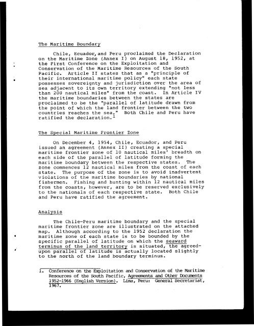
The <strong>Maritime</strong> <strong>Boundary</strong><br />
<strong>Chile</strong>, Ecuador,and <strong>Peru</strong> proclaimed the Declaration<br />
on the <strong>Maritime</strong> Zone (Annex I) on August 18, 1952, at<br />
the First Conference on the Exploitation and<br />
Conservation <strong>of</strong> the <strong>Maritime</strong> Resources <strong>of</strong> the South<br />
Pacific. Article I1 states that as a "principle <strong>of</strong><br />
their international maritime policy" each state<br />
possesses sovereignty and jurisdiction over the area <strong>of</strong><br />
sea adjacent to its own territory extending "not less<br />
than 200 nautical miles" from the coast. In Article IV<br />
the maritime boundaries between the states are<br />
proclaimed to be the "parallel <strong>of</strong> latitude drawn from<br />
the point <strong>of</strong> which the land frontier between the two<br />
countries reaches the sea." Both <strong>Chile</strong> and <strong>Peru</strong> have<br />
ratified the dec1aration.l<br />
The SPecial <strong>Maritime</strong> Frontier Zone<br />
On December 4, 1954, <strong>Chile</strong>, Ecuador, and <strong>Peru</strong><br />
issued an agreement (Annex 11) creating a special<br />
maritime frontier zone <strong>of</strong> 10 nautical miles' breadth on<br />
each side <strong>of</strong> the parallel <strong>of</strong> latitude forming the<br />
maritime boundary between the respective states. The<br />
zone commences 12 nautical miles from the coast <strong>of</strong> each<br />
state. The purpose <strong>of</strong> the zone is to avoid inadvertent<br />
violations <strong>of</strong> the maritime boundaries by national<br />
fishermen. Fishing and hunting within 12 nautical miles<br />
from the coasts, however, are to be reserved exclusively<br />
to the nationals <strong>of</strong> each respective state. Both <strong>Chile</strong><br />
and <strong>Peru</strong> have ratified the agreement.<br />
Analysis<br />
The <strong>Chile</strong>-<strong>Peru</strong> maritime boundary and the special<br />
maritime frontier zone are illustrated on the attached<br />
map. Although according to the 1952 declaration the<br />
maritime zone <strong>of</strong> each state is to be bounded by the<br />
specific parallel <strong>of</strong> latitude on which the seaward<br />
terminus <strong>of</strong> the land territory is situated, the agreedupon<br />
parallel <strong>of</strong> latitude is actually located slightly<br />
to the north <strong>of</strong> the land boundary terminus.<br />
1. Conference on the Exploitation and Conservation <strong>of</strong> the <strong>Maritime</strong><br />
Resources <strong>of</strong> the South Pacific, Agreements and Other Documents<br />
1952-1966 (English Version). Lima, <strong>Peru</strong>: General Secretariat,<br />
'1967.


