the Churchill fires - 2009 Victorian Bushfires Royal Commission
the Churchill fires - 2009 Victorian Bushfires Royal Commission
the Churchill fires - 2009 Victorian Bushfires Royal Commission

Create successful ePaper yourself
Turn your PDF publications into a flip-book with our unique Google optimized e-Paper software.
128<br />
Volume I: The Fires and <strong>the</strong> Fire-Related Deaths<br />
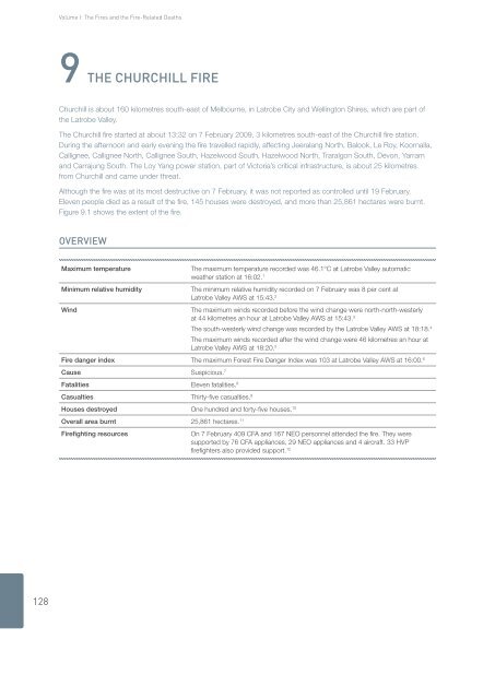
9 THe CHurCHill Fire<br />
<strong>Churchill</strong> is about 160 kilometres south-east of Melbourne, in Latrobe City and Wellington Shires, which are part of<br />
<strong>the</strong> Latrobe Valley.<br />
The <strong>Churchill</strong> fire started at about 13:32 on 7 February <strong>2009</strong>, 3 kilometres south-east of <strong>the</strong> <strong>Churchill</strong> fire station.<br />
During <strong>the</strong> afternoon and early evening <strong>the</strong> fire travelled rapidly, affecting Jeeralang North, Balook, Le Roy, Koornalla,<br />
Callignee, Callignee North, Callignee South, Hazelwood South, Hazelwood North, Traralgon South, Devon, Yarram<br />
and Carrajung South. The Loy Yang power station, part of Victoria’s critical infrastructure, is about 25 kilometres<br />
from <strong>Churchill</strong> and came under threat.<br />
Although <strong>the</strong> fire was at its most destructive on 7 February, it was not reported as controlled until 19 February.<br />
Eleven people died as a result of <strong>the</strong> fire, 145 houses were destroyed, and more than 25,861 hectares were burnt.<br />
Figure 9.1 shows <strong>the</strong> extent of <strong>the</strong> fire.<br />
Overview<br />
Maximum temperature The maximum temperature recorded was 46.1°C at Latrobe Valley automatic<br />
wea<strong>the</strong>r station at 16:02. 1<br />
Minimum relative humidity The minimum relative humidity recorded on 7 February was 8 per cent at<br />
Latrobe Valley AWS at 15:43. 2<br />
Wind The maximum winds recorded before <strong>the</strong> wind change were north-north-westerly<br />
at 44 kilometres an hour at Latrobe Valley AWS at 15:43. 3<br />
The south-westerly wind change was recorded by <strong>the</strong> Latrobe Valley AWS at 18:18. 4<br />
The maximum winds recorded after <strong>the</strong> wind change were 46 kilometres an hour at<br />
Latrobe Valley AWS at 18:20. 5<br />
Fire danger index The maximum Forest Fire Danger Index was 103 at Latrobe Valley AWS at 16:00. 6<br />
Cause Suspicious. 7<br />
Fatalities Eleven fatalities. 8<br />
Casualties Thirty-five casualties. 9<br />
Houses destroyed One hundred and forty-five houses. 10<br />
Overall area burnt 25,861 hectares. 11<br />
Firefighting resources On 7 February 409 CFA and 167 NEO personnel attended <strong>the</strong> fire. They were<br />
supported by 76 CFA appliances, 29 NEO appliances and 4 aircraft. 33 HVP<br />
firefighters also provided support. 12