Guidelines for the Rapid Ecological Assessment - Convention on ...
Guidelines for the Rapid Ecological Assessment - Convention on ...
Guidelines for the Rapid Ecological Assessment - Convention on ...
You also want an ePaper? Increase the reach of your titles
YUMPU automatically turns print PDFs into web optimized ePapers that Google loves.
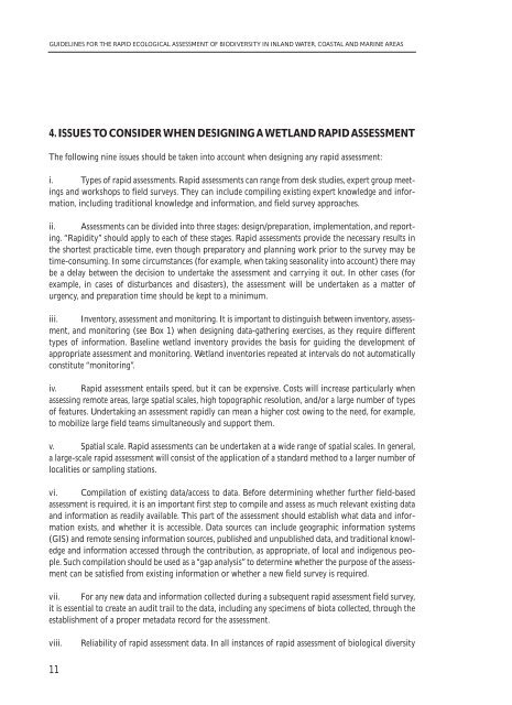
GUIDELINES FOR THE RAPID ECOLOGICAL ASSESSMENT OF BIODIVERSITY IN INLAND WATER, COASTAL AND MARINE AREAS<br />
4. ISSUES TO CONSIDER WHEN DESIGNING A WETLAND RAPID ASSESSMENT<br />
The following nine issues should be taken into account when designing any rapid assessment:<br />
i. Types of rapid assessments. <str<strong>on</strong>g>Rapid</str<strong>on</strong>g> assessments can range from desk studies, expert group meetings<br />
and workshops to field surveys. They can include compiling existing expert knowledge and in<str<strong>on</strong>g>for</str<strong>on</strong>g>mati<strong>on</strong>,<br />
including traditi<strong>on</strong>al knowledge and in<str<strong>on</strong>g>for</str<strong>on</strong>g>mati<strong>on</strong>, and field survey approaches.<br />
ii. <str<strong>on</strong>g>Assessment</str<strong>on</strong>g>s can be divided into three stages: design/preparati<strong>on</strong>, implementati<strong>on</strong>, and reporting.<br />
“<str<strong>on</strong>g>Rapid</str<strong>on</strong>g>ity” should apply to each of <str<strong>on</strong>g>the</str<strong>on</strong>g>se stages. <str<strong>on</strong>g>Rapid</str<strong>on</strong>g> assessments provide <str<strong>on</strong>g>the</str<strong>on</strong>g> necessary results in<br />
<str<strong>on</strong>g>the</str<strong>on</strong>g> shortest practicable time, even though preparatory and planning work prior to <str<strong>on</strong>g>the</str<strong>on</strong>g> survey may be<br />
time-c<strong>on</strong>suming. In some circumstances (<str<strong>on</strong>g>for</str<strong>on</strong>g> example, when taking seas<strong>on</strong>ality into account) <str<strong>on</strong>g>the</str<strong>on</strong>g>re may<br />
be a delay between <str<strong>on</strong>g>the</str<strong>on</strong>g> decisi<strong>on</strong> to undertake <str<strong>on</strong>g>the</str<strong>on</strong>g> assessment and carrying it out. In o<str<strong>on</strong>g>the</str<strong>on</strong>g>r cases (<str<strong>on</strong>g>for</str<strong>on</strong>g><br />
example, in cases of disturbances and disasters), <str<strong>on</strong>g>the</str<strong>on</strong>g> assessment will be undertaken as a matter of<br />
urgency, and preparati<strong>on</strong> time should be kept to a minimum.<br />
iii. Inventory, assessment and m<strong>on</strong>itoring. It is important to distinguish between inventory, assessment,<br />
and m<strong>on</strong>itoring (see Box 1) when designing data-ga<str<strong>on</strong>g>the</str<strong>on</strong>g>ring exercises, as <str<strong>on</strong>g>the</str<strong>on</strong>g>y require different<br />
types of in<str<strong>on</strong>g>for</str<strong>on</strong>g>mati<strong>on</strong>. Baseline wetland inventory provides <str<strong>on</strong>g>the</str<strong>on</strong>g> basis <str<strong>on</strong>g>for</str<strong>on</strong>g> guiding <str<strong>on</strong>g>the</str<strong>on</strong>g> development of<br />
appropriate assessment and m<strong>on</strong>itoring. Wetland inventories repeated at intervals do not automatically<br />
c<strong>on</strong>stitute “m<strong>on</strong>itoring”.<br />
iv. <str<strong>on</strong>g>Rapid</str<strong>on</strong>g> assessment entails speed, but it can be expensive. Costs will increase particularly when<br />
assessing remote areas, large spatial scales, high topographic resoluti<strong>on</strong>, and/or a large number of types<br />
of features. Undertaking an assessment rapidly can mean a higher cost owing to <str<strong>on</strong>g>the</str<strong>on</strong>g> need, <str<strong>on</strong>g>for</str<strong>on</strong>g> example,<br />
to mobilize large field teams simultaneously and support <str<strong>on</strong>g>the</str<strong>on</strong>g>m.<br />
v. Spatial scale. <str<strong>on</strong>g>Rapid</str<strong>on</strong>g> assessments can be undertaken at a wide range of spatial scales. In general,<br />
a large-scale rapid assessment will c<strong>on</strong>sist of <str<strong>on</strong>g>the</str<strong>on</strong>g> applicati<strong>on</strong> of a standard method to a larger number of<br />
localities or sampling stati<strong>on</strong>s.<br />
vi. Compilati<strong>on</strong> of existing data/access to data. Be<str<strong>on</strong>g>for</str<strong>on</strong>g>e determining whe<str<strong>on</strong>g>the</str<strong>on</strong>g>r fur<str<strong>on</strong>g>the</str<strong>on</strong>g>r field-based<br />
assessment is required, it is an important first step to compile and assess as much relevant existing data<br />
and in<str<strong>on</strong>g>for</str<strong>on</strong>g>mati<strong>on</strong> as readily available. This part of <str<strong>on</strong>g>the</str<strong>on</strong>g> assessment should establish what data and in<str<strong>on</strong>g>for</str<strong>on</strong>g>mati<strong>on</strong><br />
exists, and whe<str<strong>on</strong>g>the</str<strong>on</strong>g>r it is accessible. Data sources can include geographic in<str<strong>on</strong>g>for</str<strong>on</strong>g>mati<strong>on</strong> systems<br />
(GIS) and remote sensing in<str<strong>on</strong>g>for</str<strong>on</strong>g>mati<strong>on</strong> sources, published and unpublished data, and traditi<strong>on</strong>al knowledge<br />
and in<str<strong>on</strong>g>for</str<strong>on</strong>g>mati<strong>on</strong> accessed through <str<strong>on</strong>g>the</str<strong>on</strong>g> c<strong>on</strong>tributi<strong>on</strong>, as appropriate, of local and indigenous people.<br />
Such compilati<strong>on</strong> should be used as a “gap analysis” to determine whe<str<strong>on</strong>g>the</str<strong>on</strong>g>r <str<strong>on</strong>g>the</str<strong>on</strong>g> purpose of <str<strong>on</strong>g>the</str<strong>on</strong>g> assessment<br />
can be satisfied from existing in<str<strong>on</strong>g>for</str<strong>on</strong>g>mati<strong>on</strong> or whe<str<strong>on</strong>g>the</str<strong>on</strong>g>r a new field survey is required.<br />
vii. For any new data and in<str<strong>on</strong>g>for</str<strong>on</strong>g>mati<strong>on</strong> collected during a subsequent rapid assessment field survey,<br />
it is essential to create an audit trail to <str<strong>on</strong>g>the</str<strong>on</strong>g> data, including any specimens of biota collected, through <str<strong>on</strong>g>the</str<strong>on</strong>g><br />
establishment of a proper metadata record <str<strong>on</strong>g>for</str<strong>on</strong>g> <str<strong>on</strong>g>the</str<strong>on</strong>g> assessment.<br />
viii.<br />
Reliability of rapid assessment data. In all instances of rapid assessment of biological diversity<br />
11


