Seaton Neighbourhood Planning - City of Pickering
Seaton Neighbourhood Planning - City of Pickering
Seaton Neighbourhood Planning - City of Pickering
Create successful ePaper yourself
Turn your PDF publications into a flip-book with our unique Google optimized e-Paper software.
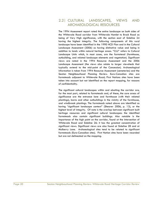
2.2| CULTURAL LANDSCAPES, VIEWS AND<br />
ARCHAEOLOGICAL RESOURCES<br />
The 1994 Assessment report rated the entire landscape on both sides <strong>of</strong><br />
the Whitevale Road corridor from Whitevale Hamlet to Brock Road as<br />
being <strong>of</strong> Very High significance, with the section east <strong>of</strong> Sideline 24<br />
having the highest integrity. The following components <strong>of</strong> this rural<br />
landscape have been identified in the 1990 HCD Plan and in the Cultural<br />
Landscape Assessment (2006) as having distinctive value and being in<br />
addition to lands within natural heritage areas. “CLU” refers to Cultural<br />
Landscape Units which, in most cases, are the farmstead (farmhouse,<br />
outbuilding, and related landscape elements and vegetation). Significant<br />
views are noted in the 1994 Resource Assessment and the 2006<br />
Landscape Assessment (the views also relate to larger viewsheds that<br />
typically extend to the mid-point <strong>of</strong> the Concession). Archaeological<br />
information is taken from 1994 Resource Assessment (cemeteries) and the<br />
<strong>Seaton</strong> <strong>Neighbourhood</strong> <strong>Planning</strong> Review. Euro-Canadian sites are<br />
farmsteads adjacent to Whitevale Road; First Nations sites have been<br />
taken into account but not identified on the report mapping, for reasons<br />
<strong>of</strong> confidentiality.<br />
The significant cultural landscapes within and abutting the corridor are,<br />
for the most part, related to farmsteads and, <strong>of</strong> these, the core areas <strong>of</strong><br />
significance are the entrance lane and farmhouse (with their related<br />
plantings), barns and other outbuildings in the vicinity <strong>of</strong> the farmhouse,<br />
and windbreak plantings. The farmsteads noted above are identified as<br />
having “significant landscape context” (Shearer 2006, p. 13), or the<br />
highest level <strong>of</strong> integrity. Of note is the overlap between significant built<br />
heritage resources and significant cultural landscapes: the identified<br />
farmsteads also contain significant buildings. Also notable is the<br />
importance <strong>of</strong> the high point on the corridor, found at the intersection <strong>of</strong><br />
Whitevale Road and Sideline 26: it has the greatest concentration <strong>of</strong><br />
significant views. Significant views are also found at Sideline 28 and at<br />
Mulberry Lane. Archaeological sites tend to be related to significant<br />
farmsteads (Euro-Canadian sites). First Nation sites have been recorded<br />
but are not delineated on the mapping.<br />
Page 20<br />
<strong>Seaton</strong> <strong>Neighbourhood</strong> <strong>Planning</strong> Review: Whitevale Road Heritage Corridor Review


