Woodlands - East Coast Greenway
Woodlands - East Coast Greenway
Woodlands - East Coast Greenway

You also want an ePaper? Increase the reach of your titles
YUMPU automatically turns print PDFs into web optimized ePapers that Google loves.
The Merritt by bike<br />
When the Merritt was built, planners reserved a parallel corridor<br />
150 feet wide. One group argues that this strip is perfect for a trail.<br />
Millions have experienced the magnificence<br />
of the Merritt Parkway from their<br />
cars, but only a fortunate few have traveled<br />
its wooded environs on foot. Regional Plan<br />
Association, an independent tri-state planning organization,<br />
would like to change that.<br />
RPA has advocated constructing a path along the<br />
Merritt right-of-way since the early 1990s when representatives<br />
of the <strong>East</strong> <strong>Coast</strong> <strong>Greenway</strong>, an urban trail<br />
that will extend from Maine to Florida, presented the<br />
idea to its board. A Merritt trail is not a new idea.<br />
Weld Thayer Chase, the state highway department’s<br />
first landscape architect, has said that planners considered a trail<br />
system when first designing the Merritt but that trails were not<br />
part of the final design. He told this to an environmental planner,<br />
Jennifer Aley, who did a feasibility study for RPA in the early<br />
1990s. Ms. Aley, who now lives and works in Virginia, was not<br />
able to interview him further about the early trail plans, because he<br />
was ill. (Mr. Chase died in 2003.)<br />
In Greenwich, according to Bruce Radde in his book The<br />
Merritt Parkway, a bridle path was partially constructed, and it is<br />
‘The Merritt is<br />
the only logical<br />
place to site an<br />
off-road trail<br />
through Fairfield<br />
County.’<br />
still in use today. Mr. Radde also noted in his book<br />
that it was bicyclists who promoted hard-surface<br />
roads in the 1930s.<br />
The right-of-way’s 150-foot width is filled with<br />
plantings, natural rock outcroppings and meandering<br />
streams. Unique in character, it is easy to understand<br />
why the original designers contemplated a path<br />
along its entire 37.5-mile length. But, alas, uninspired<br />
minds prevailed and the land was eventually<br />
set aside for additional lanes instead. So it was not<br />
until 1990, when Emil Frankel, who then was commissioner<br />
of the Connecticut Department of<br />
Transportation, declared the right-of-way off limits for highway<br />
expansion, that the door reopened for a greenway trail.<br />
Because of dense development and the north-south ridges that<br />
mark the Connecticut topography, the Merritt is the only logical<br />
place to site an off-road trail through Fairfield County. And in<br />
1994, RPA’s Merritt Parkway Trail Study provided the documentation<br />
that demonstrated the feasibility of the trail. The study<br />
generated interest from several communities, but the concept<br />
never really drew the broad consensus that was needed to get the<br />
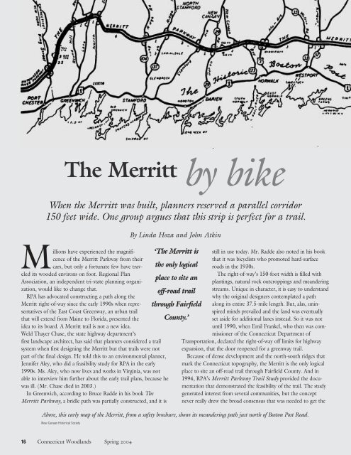
Above, this early map of the Merritt, from a safety brochure, shows its meandering path just north of Boston Post Road.<br />
New Canaan Historical Society<br />
By Linda Hoza and John Atkin<br />
16 Connecticut <strong>Woodlands</strong> Spring 2004