Maps and Plans - Tyne & Wear Museums
Maps and Plans - Tyne & Wear Museums
Maps and Plans - Tyne & Wear Museums

Create successful ePaper yourself
Turn your PDF publications into a flip-book with our unique Google optimized e-Paper software.
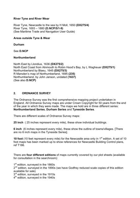
River <strong>Tyne</strong> <strong>and</strong> River <strong>Wear</strong><br />
River <strong>Tyne</strong>, Newcastle to the sea by H Moll, 1650 (DX275/4)<br />
River <strong>Tyne</strong>, 1693 – 1880 (D.NCP/5/1-9)<br />
(See Maritime Trade <strong>and</strong> Navigation User Guide)<br />
Areas outside <strong>Tyne</strong> & <strong>Wear</strong><br />
Durham<br />
See D.NCP<br />
Northumberl<strong>and</strong><br />
North East by Llondius, 1636 (DX275/2)<br />
North East Coast from Alnmouth to Robin Hood’s Bay, by L Wagheuer (DX275/1)<br />
Northumberl<strong>and</strong> by Blaeu, 1645 (DX275/3)<br />
R Marsden’s map of Northumberl<strong>and</strong>, 1695 (235)<br />
Northumberl<strong>and</strong>, by John Janson, undated (1637)<br />
(See also D.NCP)<br />
2. ORDNANCE SURVEY<br />
The Ordnance Survey was the first comprehensive mapping project undertaken in<br />
Engl<strong>and</strong>. All Ordnance Survey maps are under Crown Copyright for 50 years from the end<br />
of the year in which they were made. The maps we hold are in three different series:<br />
Northumberl<strong>and</strong> Series, Durham Series <strong>and</strong> <strong>Tyne</strong>side Series.<br />
There are different scales of Ordnance Survey maps:<br />
25 inch ( 25 inches represent every mile), these show individual buildings.<br />
6 inch (6 inches represent every mile), these show the outline of towns/villages. [There<br />
are no 6 inch maps in the <strong>Tyne</strong>side Series].<br />
10 foot (10 feet represent every mile) for the Newcastle area only in 1 st edition. A set of 10<br />
foot maps has been marked up to show references for Newcastle Building Control plans,<br />
ref T186.<br />
There are four different editions of maps currently covered by our plot sheets (available<br />
for consultation in the searchroom):<br />
1 st edition, surveyed in the 1860s<br />
2 nd edition, surveyed in the 1890s (we have Godfrey reduced scale copies of this edition<br />
available for sale)<br />
3 rd edition, surveyed in the 1910s<br />
4 th edition, surveyed in the 1940s