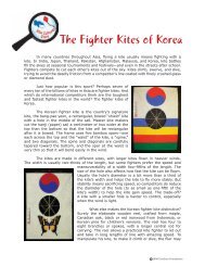
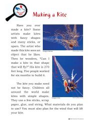
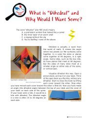
Discourse Issue 9.pdf - Drachen Foundation
Discourse Issue 9.pdf - Drachen Foundation
Discourse Issue 9.pdf - Drachen Foundation

Create successful ePaper yourself
Turn your PDF publications into a flip-book with our unique Google optimized e-Paper software.
Spring tides are the tides with maximum<br />
amplitude during a moon cycle. They are<br />
the result of the combined maximum<br />
gravitational pull of the celestial bodies of<br />
the solar system over the oceans. Most of<br />
this pull comes from the gravity of the sun<br />
and the moon, the sun for being the largest<br />
celestial body in the solar system and the<br />
moon due its proximity to the earth.<br />
This maximum gravity pull over the ocean<br />
basins also enhances vertical currents, such<br />
as the upwelling currents on certain areas of<br />
the continental shelf. In the case of Holbox,<br />
which is located on the western margin of<br />
the channel of Yucatán, the upwelling<br />
currents occur where the waters of the<br />
Caribbean meet the waters of the Gulf of<br />
Mexico. Upwelling currents bring waters<br />
from the bottom, which are rich in nutrients<br />
and cold in temperature, to the surface.<br />
During a spring tide, these colder waters<br />
penetrate farther in over the internal<br />
continental shelf, creating areas of different<br />
barometric pressure and therefore creating<br />
local wind. The effect of the local wind over<br />
the horizontal ocean currents helps to push<br />
the surface waters to shallower areas, and it<br />
allows the upwelling current to last longer.<br />
This is what apparently happens during<br />
spring tides in the basin of the Yum Balam<br />
Reserve, Quintana Roo, Mexico. To prove<br />
this correlation, it is necessary to analyze<br />
the meteorological records of this area<br />
quantitatively.<br />
It was evident that the strongest and more<br />
stable winds always occurred in the<br />
adjacent waters and at a distance of 2 to 3<br />
miles around the island. The weaker wind<br />
patterns occurred in the offshore waters.<br />
This is explained by the higher contrast in<br />
barometric pressure and temperature<br />
between the landmass of the island and the<br />
ocean waters that surround it.<br />
The wind conditions in the offshore waters,<br />
where we found whale sharks feeding on<br />
the surface, were low and not strong<br />
enough to elevate any of the cameras with<br />
the kites we had. This was quite<br />
disappointing, but we could not extend our<br />
stay on the island long enough to wait for<br />
the right wind conditions in order to<br />
document the whale sharks. These low wind<br />
conditions found in offshore waters are<br />
associated with the warming of the water<br />
over the shallow continental shelf which<br />
creates low atmospheric pressure<br />
conditions.<br />
However, in the near shore waters of<br />
Holbox Island, strong enough wind<br />
conditions were found to elevate the Nikon<br />
D90 camera. So we decided to document<br />
with KAP the coastline of the northeastern<br />
side of the island, where a strong erosion<br />
process has been observed in the last 10<br />
years.<br />
We did two flights in this area in order to<br />
observe the bottom conditions and the<br />
sedimentary transport: one over a transect<br />
perpendicular to the coastline and a second<br />
over a transect parallel to the coastline<br />
(shown below as yellow and blue trails).<br />
This side of Holbox Island is a very shallow<br />
area with depths up to 9 feet. The lighthouse<br />
of Cabo Catoche is located here and<br />
provides a great landmark to compare the<br />
32