Part 1 - Memphis District - U.S. Army
Part 1 - Memphis District - U.S. Army
Part 1 - Memphis District - U.S. Army

You also want an ePaper? Increase the reach of your titles
YUMPU automatically turns print PDFs into web optimized ePapers that Google loves.
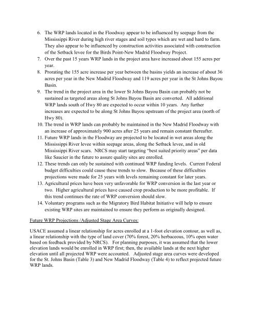
6. The WRP lands located in the Floodway appear to be influenced by seepage from the<br />
Mississippi River during high river stages and soil types which are wet and hard to farm.<br />
They also appear to be influenced by construction activities associated with construction<br />
of the Setback levee for the Birds Point-New Madrid Floodway Project.<br />
7. Over the past 15 years WRP lands in the project area have increased about 155 acres per<br />
year.<br />
8. Prorating the 155 acre increase per year between the basins yields an increase of about 36<br />
acres per year in the New Madrid Floodway and 119 acres per year in the St Johns Bayou<br />
Basin.<br />
9. The trend in the project area in the lower St Johns Bayou Basin can probably not be<br />
sustained as targeted areas along St Johns Bayou Basin are converted. All additional<br />
WRP lands south of Hwy 80 are expected to occur within 10 years. Any further<br />
increases are expected to be along St Johns Bayou upstream of the project area (north of<br />
Hwy 80).<br />
10. The trend in WRP lands can probably be maintained in the New Madrid Floodway with<br />
an increase of approximately 900 acres after 25 years and remain constant thereafter.<br />
11. Future WRP lands in the Floodway are projected to be located in wet areas along the<br />
Mississippi River levee within seepage areas, along the Setback levee, and in old<br />
Mississippi River scars. NRCS may start targeting “best suited priority areas” per data<br />
like Saucier in the future to assure quality sites are enrolled.<br />
12. These trends can only be sustained with continued WRP funding levels. Current Federal<br />
budget difficulties could cause these trends to slow. Because of these difficulties<br />
projections were made for 25 years with levels remaining constant for later years.<br />
13. Agricultural prices have been very unfavorable for WRP conversion in the last year or<br />
two. Higher agricultural prices have caused crop production to be more profitable. If<br />
this trend continues the rate of WRP conversion should slow.<br />
14. Voluntary programs such as the Migratory Bird Habitat Initiative will help to ensure<br />
existing WRP sites are maintained to ensure they perform as originally designed.<br />
Future WRP Projections /Adjusted Stage Area Curves:<br />
USACE assumed a linear relationship for acres enrolled at a 1-foot elevation contour, as well as,<br />
a linear relationship with the type of land cover (70% forest, 20% herbaceous, 10% open water<br />
based on feedback provided by NRCS). For planning purposes, it was assumed that the lower<br />
elevation lands would be enrolled in WRP first; then, the available lands at the next higher<br />
elevation until all projected WRP were accounted. Adjusted stage area curves were developed<br />
for the St. Johns Basin (Table 3) and New Madrid Floodway (Table 4) to reflect projected future<br />
WRP lands.