Bulletin 54. Geophysical Methods of Exploration and their ...
Bulletin 54. Geophysical Methods of Exploration and their ...
Bulletin 54. Geophysical Methods of Exploration and their ...
You also want an ePaper? Increase the reach of your titles
YUMPU automatically turns print PDFs into web optimized ePapers that Google loves.
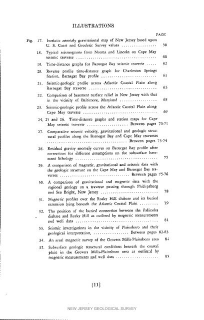
ILLUSTRATIONS<br />
PAGE<br />
Fig. 17. Isostatic anomaly gravitational map <strong>of</strong> New Jersey based tlp<strong>of</strong>l<br />
U. g. Coast <strong>and</strong> Geodetic Survey values ................. 50<br />
t8. Typical seismograms from Norm_ <strong>and</strong> Lincoln on Cape May<br />
seismic traverse ....................................... 60<br />
19. Time-distance graphs for Barnegat Bay seismic traverse ..... 62<br />
20. Reverse pr<strong>of</strong>ile time-distance graph for Charleston Springs<br />
Station, Barnegat Bay pr<strong>of</strong>ile ........................... 63<br />
21. Seismic-geologic pr<strong>of</strong>ile across ,Atlantic Coastal Plain along<br />
Barnegat Bay traverse ................................. 6,5<br />
22. Comparison <strong>of</strong> basement s,arface relief in New Jersey with that<br />
in the vicinity <strong>of</strong> Baltimore, Maryl<strong>and</strong> .................. 68<br />
25. Seismic-geologic pr<strong>of</strong>ile across the Atlantic Coastal Plain along<br />
Cape May traverse .................................... 69<br />
24, 25 <strong>and</strong> 26. Time-dlstance graphs <strong>and</strong> station maps for Cape<br />
May seismic traverse .................... Betv*-een pages 70-71<br />
27. Comparative seismic velocity, gravitational <strong>and</strong> geologic structural<br />
pr<strong>of</strong>iles along the l_amegat Bay <strong>and</strong> Cape May traverses<br />
....................................... Between pages 73-74<br />
28. Resldua| gravity anomaly' cur_'es on Bamegat Bay pr<strong>of</strong>ile a/let<br />
corrections fo¢ different assumptions on the subsurface basement<br />
lithology ........................................ 75<br />
29. A comparison <strong>of</strong> magnetic, gravitational <strong>and</strong> seismic data with<br />
the geologic structure on the Gape May <strong>and</strong> Barnegat Bay traverses<br />
.................................. Between pages 73-76<br />
30. A comparison <strong>of</strong> gravitational <strong>and</strong> magnetic data with the<br />
regional geology on a traverse passing through Phillipsburg<br />
<strong>and</strong> Sea Bright, New Jersey ............................ 78<br />
31. Magnetic pr<strong>of</strong>iles over the Rocky Hilt diabase <strong>and</strong> its buried<br />
extension lying _eneath the Atlantic Coastal Plain ......... 79<br />
32. The position <strong>of</strong> the buried connection between the Palisades<br />
diabase <strong>and</strong> Rocky Hill as outlined by magnetic measurements<br />
<strong>and</strong> well data ........................................ 8l<br />
33. Seismic investigations in the _iclnity <strong>of</strong> Plainsbom <strong>and</strong> <strong>their</strong><br />
geological interpretation, ................. Between pages 82-83<br />
34. An areal magnetic survey <strong>of</strong> the Grovers Mills-Plainsboro area 8.1<br />
35. Subsurface geologic structural conditious beneath the coastal<br />
plain in the Grovers Mills-Plalnsboro area as outiitacd by<br />
magnetic measurements <strong>and</strong> well data ..................... 8}<br />
[11]<br />
NEW JERSEY GEOLOGICAL SURVEY


