NOAA Celebrating 200 Years of Science, Service, and Stewardship
NOAA Celebrating 200 Years of Science, Service, and Stewardship
NOAA Celebrating 200 Years of Science, Service, and Stewardship

You also want an ePaper? Increase the reach of your titles
YUMPU automatically turns print PDFs into web optimized ePapers that Google loves.
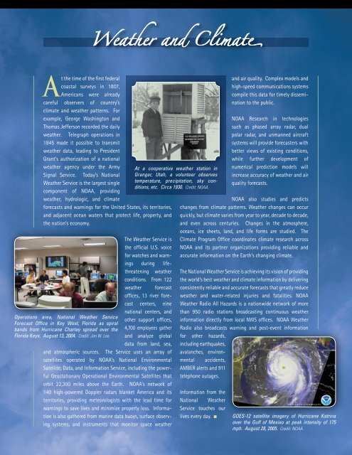
Weather <strong>and</strong> Climat<br />
At the time <strong>of</strong> the first federal<br />
coastal surveys in 1807,<br />
Americans were already<br />
careful observers <strong>of</strong> country’s<br />
climate <strong>and</strong> weather patterns. For<br />
example, George Washington <strong>and</strong><br />
Thomas Jefferson recorded the daily<br />
weather. Telegraph operations in<br />
1845 made it possible to transmit<br />
weather data, leading to President<br />
Grant’s authorization <strong>of</strong> a national<br />
weather agency under the Army<br />
Signal <strong>Service</strong>. Today’s National<br />
Weather <strong>Service</strong> is the largest single<br />
component <strong>of</strong> <strong>NOAA</strong>, providing<br />
weather, hydrologic, <strong>and</strong> climate<br />
forecasts <strong>and</strong> warnings for the United States, its territories,<br />
<strong>and</strong> adjacent ocean waters that protect life, property, <strong>and</strong><br />
the nation’s economy.<br />
Operations area, National Weather <strong>Service</strong><br />
Forecast Office in Key West, Florida as spiral<br />
b<strong>and</strong>s from Hurricane Charley spread over the<br />
Florida Keys. August 13, <strong>200</strong>4. Credit: Jim W. Lee.<br />
The Weather <strong>Service</strong> is<br />
the <strong>of</strong>ficial U.S. voice<br />
for watches <strong>and</strong> warnings<br />
during lifethreatening<br />
weather<br />
conditions. From 122<br />
weather forecast<br />
<strong>of</strong>fices, 13 river forecast<br />
centers, nine<br />
national centers, <strong>and</strong><br />
other support <strong>of</strong>fices,<br />
4,700 employees gather<br />
<strong>and</strong> analyze global<br />
data from l<strong>and</strong>, sea,<br />
<strong>and</strong> atmospheric sources. The <strong>Service</strong> uses an array <strong>of</strong><br />
satellites operated by <strong>NOAA</strong>’s National Environmental<br />
Satellite, Data, <strong>and</strong> Information <strong>Service</strong>, including the powerful<br />
Geostationary Operational Environmental Satellites that<br />
orbit 22,300 miles above the Earth. <strong>NOAA</strong>’s network <strong>of</strong><br />
140 high-powered Doppler radars blanket America <strong>and</strong> its<br />
territories, providing meteorologists with the lead time for<br />
warnings to save lives <strong>and</strong> minimize property loss. Information<br />
is also gathered from marine data buoys, surface observing<br />
systems, <strong>and</strong> instruments that monitor space weather<br />
At a cooperative weather station in<br />
Granger, Utah, a volunteer observes<br />
temperature, precipitation, sky conditions,<br />
etc. Circa 1930. Credit: <strong>NOAA</strong>.<br />
<strong>and</strong> air quality. Complex models <strong>and</strong><br />
high-speed communications systems<br />
compile this data for timely dissemination<br />
to the public.<br />
<strong>NOAA</strong> Research in technologies<br />
such as phased array radar, dual<br />
polar radar, <strong>and</strong> unmanned aircraft<br />
systems will provide forecasters with<br />
better views <strong>of</strong> existing conditions,<br />
while further development <strong>of</strong><br />
numerical prediction models will<br />
increase accuracy <strong>of</strong> weather <strong>and</strong> air<br />
quality forecasts.<br />
<strong>NOAA</strong> also studies <strong>and</strong> predicts<br />
changes from climate patterns. Weather changes can occur<br />
quickly, but climate varies from year to year, decade to decade,<br />
<strong>and</strong> even across centuries. Changes in the atmosphere,<br />
oceans, ice sheets, l<strong>and</strong>, <strong>and</strong> life forms are studied. The<br />
Climate Program Office coordinates climate research across<br />
<strong>NOAA</strong> <strong>and</strong> its partner organizations providing reliable <strong>and</strong><br />
accurate information on the Earth’s changing climate.<br />
The National Weather <strong>Service</strong> is achieving its vision <strong>of</strong> providing<br />
the world’s best weather <strong>and</strong> climate information by delivering<br />
consistently reliable <strong>and</strong> accurate forecasts that greatly reduce<br />
weather <strong>and</strong> water-related injuries <strong>and</strong> fatalities. <strong>NOAA</strong><br />
Weather Radio All Hazards is a nationwide network <strong>of</strong> more<br />
than 950 radio stations broadcasting continuous weather<br />
information directly from local NWS <strong>of</strong>fices. <strong>NOAA</strong> Weather<br />
Radio also broadcasts warning <strong>and</strong> post-event information<br />
for other hazards,<br />
including earthquakes,<br />
avalanches, environmental<br />
accidents,<br />
AMBER alerts <strong>and</strong> 911<br />
telephone outages.<br />
Information from the<br />
National Weather<br />
<strong>Service</strong> touches our<br />
lives every day.<br />
GOES-12 satellite imagery <strong>of</strong> Hurricane Katrina<br />
over the Gulf <strong>of</strong> Mexixo at peak intensity <strong>of</strong> 175<br />
mph. August 28, <strong>200</strong>5. Credit: <strong>NOAA</strong>.