gee creek watershed restoration - WSU Clark County Extension ...
gee creek watershed restoration - WSU Clark County Extension ...
gee creek watershed restoration - WSU Clark County Extension ...
You also want an ePaper? Increase the reach of your titles
YUMPU automatically turns print PDFs into web optimized ePapers that Google loves.
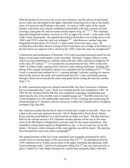
With the decline of river travel for access and commerce, and the advent of land-basedtravel, roads were developed in the upper <strong>watershed</strong> connecting Gee Creek to the nearbycities of Vancouver and Portland to the south. As early as 1888, many of the currentprimary road routes were already established, presumably with early versions of <strong>creek</strong>crossings, road grade fill, and associated stream impacts (Fig.16). 17,25,57a Roy Garrison,long-time Ridgefield resident, was born in 1932 on upper Gee Creek, ½ mile north of the<strong>Clark</strong> <strong>County</strong> fairgrounds. He reported that at Royle Road there was a bridge prior to the1960’s and 1970’s when the road was realigned. 25a John Burrows, another long-timeRidgefield resident (born 1915) lived 1½ miles north of town for many years. Herecalled that at the Main Street Crossing of Gee Creek there was a bridge at the bottom ofthe hill which was replaced with a culvert in the 1950’s when the road was straightened. 6aConstruction and maintenance of Interstate 5 (I-5) and associated untreated runoff are thelargest recent major road impacts in the <strong>watershed</strong>. Interstate 5 largely follows a routewhich was first established as a military road in the late 1800’s and later as Highway 99in the early 20 th century. 35aa I-5 construction occurred from the late 1950’s to the early1960’s in <strong>Clark</strong> <strong>County</strong>, starting from Vancouver and working northward. Grading andfilling of the original <strong>watershed</strong> contours was expanded with the building of I-5. 17,18a GeeCreek is restricted and confined by I-5 -- passing through 2 culverts, running in a narrowland divider between the north- and south-bound lanes for ½ mile, and finally passingthrough a third culvert beneath the entire road grade before exiting the freeway corridor(Figs.7, 9).In 1890, construction began on a branch railroad (RR) line from Vancouver to Kalamabut was suspended after 1 year. Work was resumed and the line completed in 1901. In1907-08, the Northern Pacific RR line was completed, expanding, straightening andimproving the line with a double track of standard gauge rail. 25 The RR crosses the GeeCreek floodplain on a fill roadbed-dike more than 15’tall, confining and constricting thestream through an 8’-diameter concrete culvert as it enters the Columbia River floodplainlowlands (Figs.10a,10b).Roy Garrison recalled that the Royle farm on Greek had a couple of sawmills. There wasa dam in the <strong>creek</strong> just upstream from the 15th St. Bridge below Royle Road. JohnnyRoyle used the pond behind it as a mill pond but no flume was there. The dam had beenbuilt by the railroad and ran a 6-8” diameter wooden pipeline all the way to the watertower at the RR Deport in Ridgefield to provide water for the steam locomotives. Royremembers seeing steam engines in Ridgefield as a boy. A lot of wood was cut for theboilers. He knows where remnants of the water pipeline can still be found. The dam hasbeen breached for some time.(Above paragraph) 25aThe upland portions of the Gee Creek <strong>watershed</strong> were originally dominated by nativeconifer forest in varying stages of fire succession (Fig.14). 25,62 An annotation from the1854 Cadastral survey written across much of the upper <strong>watershed</strong> and adjoining AllenCanyon drainage reads: “Land level and gently rolling Soil 2 nd rate clay loam gravelly inplaces Timber Fir Cedar Maple Hemlock &c. mostly burn and partly fallen with thick13


