Navigation System & Digital Maps - NAVITEL
Navigation System & Digital Maps - NAVITEL
Navigation System & Digital Maps - NAVITEL
Create successful ePaper yourself
Turn your PDF publications into a flip-book with our unique Google optimized e-Paper software.
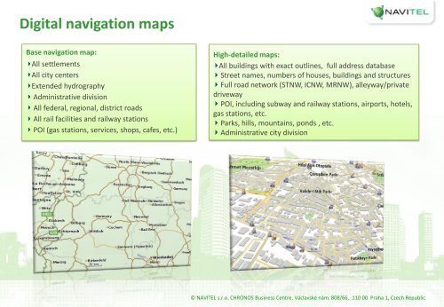
<strong>Digital</strong> navigation mapsBase navigation map:All settlementsAll city centersExtended hydrographyAdministrative divisionAll federal, regional, district roadsAll rail facilities and railway stationsPOI (gas stations, services, shops, cafes, etc.)High-detailed maps:All buildings with exact outlines, full address databaseStreet names, numbers of houses, buildings and structuresFull road network (STNW, ICNW, MRNW), alleyway/privatedrivewayPOI, including subway and railway stations, airports, hotels,gas stations, etc.Parks, hills, mountains, ponds , etc.Administrative city division© <strong>NAVITEL</strong> s.r.o. CHRONOS Business Centre, Václavské nám. 808/66, 110 00 Praha 1, Czech Republic


