Geospatial Transportation Information - West Virginia Department of ...
Geospatial Transportation Information - West Virginia Department of ...
Geospatial Transportation Information - West Virginia Department of ...

Create successful ePaper yourself
Turn your PDF publications into a flip-book with our unique Google optimized e-Paper software.
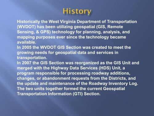
Historically the <strong>West</strong> <strong>Virginia</strong> <strong>Department</strong> <strong>of</strong> <strong>Transportation</strong>(WVDOT) has been utilizing geospatial (GIS, RemoteSensing, & GPS) technology for planning, analysis, andmapping purposes ever since the technology becameavailable.In 2005 the WVDOT GIS Section was created to meet thegrowing needs for geospatial data and services intransportation.In 2007 the GIS Section was reorganized as the GIS Unit andmerged with the Highway Data Services (HDS) Unit, aprogram responsible for processing roadway additions,changes, or abandonment requests from the Districts, andthe update and maintenance <strong>of</strong> the Roadway Inventory Log.The two units together formed the current <strong>Geospatial</strong><strong>Transportation</strong> <strong>Information</strong> (GTI) Section.