The Eastbourne Academy policy - East Sussex County Council
The Eastbourne Academy policy - East Sussex County Council
The Eastbourne Academy policy - East Sussex County Council
- No tags were found...
You also want an ePaper? Increase the reach of your titles
YUMPU automatically turns print PDFs into web optimized ePapers that Google loves.
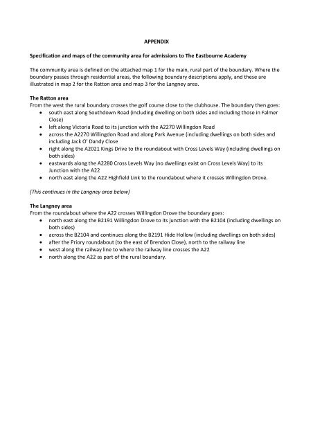
APPENDIXSpecification and maps of the community area for admissions to <strong>The</strong> <strong><strong>East</strong>bourne</strong> <strong>Academy</strong><strong>The</strong> community area is defined on the attached map 1 for the main, rural part of the boundary. Where theboundary passes through residential areas, the following boundary descriptions apply, and these areillustrated in map 2 for the Ratton area and map 3 for the Langney area.<strong>The</strong> Ratton areaFrom the west the rural boundary crosses the golf course close to the clubhouse. <strong>The</strong> boundary then goes:• south east along Southdown Road (including dwelling on both sides and including those in FalmerClose)• left along Victoria Road to its junction with the A2270 Willingdon Road• across the A2270 Willingdon Road and along Park Avenue (including dwellings on both sides andincluding Jack O’ Dandy Close• right along the A2021 Kings Drive to the roundabout with Cross Levels Way (including dwellings onboth sides)• eastwards along the A2280 Cross Levels Way (no dwellings exist on Cross Levels Way) to itsJunction with the A22• north east along the A22 Highfield Link to the roundabout where it crosses Willingdon Drove.[This continues in the Langney area below]<strong>The</strong> Langney areaFrom the roundabout where the A22 crosses Willingdon Drove the boundary goes:• north east along the B2191 Willingdon Drove to its junction with the B2104 (including dwellings onboth sides)• across the B2104 and continues along the B2191 Hide Hollow (including dwellings on both sides)• after the Priory roundabout (to the east of Brendon Close), north to the railway line• west along the railway line to where the railway line crosses the A22• north along the A22 as part of the rural boundary.


