Highlights - Lockheed Martin
Highlights - Lockheed Martin
Highlights - Lockheed Martin
- No tags were found...
Create successful ePaper yourself
Turn your PDF publications into a flip-book with our unique Google optimized e-Paper software.
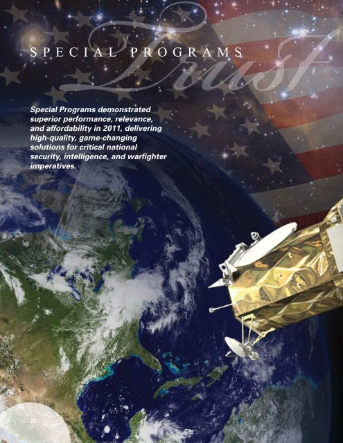
SPECIAL PROGRAMSSpecial Programs demonstratedsuperior performance, relevance,and affordability in 2011, deliveringhigh-quality, game-changingsolutions for critical nationalsecurity, intelligence, and warfighterimperatives.The Special Programs team developing GeoEye’snext-generation, high-resolution Earth-imaging satellite,known as GeoEye-2, achieved key milestones, reflecting itsunrelenting focus on Operational Excellence and MissionSuccess.The team began space vehicle integration with the deliveryof the integrated propulsion system from the <strong>Lockheed</strong><strong>Martin</strong> Space & Technology Center in Stennis, Miss. and ison track to be ready for launch in early 2013.The start of vehicle integration marked the on-scheduleprogress of installation and testing of satellite componentsand subsystems in preparation for the delivery of the satellite’shigh-resolution imaging payload in early 2012.Special Programs is developing the spacecraft under afixed-price contract with GeoEye. Once operational in 2013,GeoEye-2 will feature significant improvements to its predecessors,including enhanced tasking and the ability to collectmore imagery at a faster rate with a new camera.The satellite will provide resolution better than one-halfmeterand images in four multispectral bands: blue, green,red, and near-infrared.GeoEye-2 will be launched aboard an Atlas V rocketprovided by <strong>Lockheed</strong> <strong>Martin</strong> Commercial Launch Services.This spacecraft is but one example of the continuing,critical work performed by the Special Programs team.<strong>Lockheed</strong> <strong>Martin</strong> is proud to serve as a trusted partner providingdecision makers with timely, accurate, and actionableintelligence capabilities.CLEAR FOCUS. Shown here is an artist’s rendering of GeoEye-2peering at the Earth. Once operational in 2013, GeoEye-2 willdeliver the world’s highest resolution and most accurate colorimagery of any commercial remote sensing satellite.22 23


