Exploiting Parcel-Level GIS for Land Use Modeling - CiteSeerX
Exploiting Parcel-Level GIS for Land Use Modeling - CiteSeerX
Exploiting Parcel-Level GIS for Land Use Modeling - CiteSeerX
You also want an ePaper? Increase the reach of your titles
YUMPU automatically turns print PDFs into web optimized ePapers that Google loves.
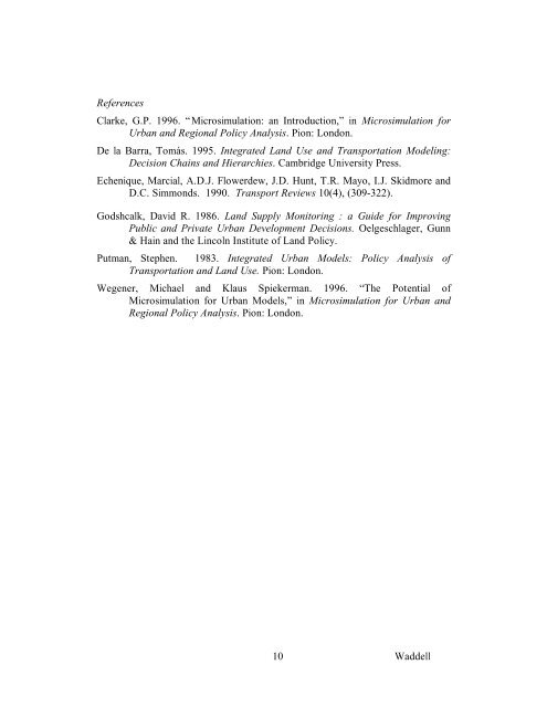
ReferencesClarke, G.P. 1996. “Microsimulation: an Introduction,” in Microsimulation <strong>for</strong>Urban and Regional Policy Analysis. Pion: London.De la Barra, Tomás. 1995. Integrated <strong>Land</strong> <strong>Use</strong> and Transportation <strong>Modeling</strong>:Decision Chains and Hierarchies. Cambridge University Press.Echenique, Marcial, A.D.J. Flowerdew, J.D. Hunt, T.R. Mayo, I.J. Skidmore andD.C. Simmonds. 1990. Transport Reviews 10(4), (309-322).Godshcalk, David R. 1986. <strong>Land</strong> Supply Monitoring : a Guide <strong>for</strong> ImprovingPublic and Private Urban Development Decisions. Oelgeschlager, Gunn& Hain and the Lincoln Institute of <strong>Land</strong> Policy.Putman, Stephen. 1983. Integrated Urban Models: Policy Analysis ofTransportation and <strong>Land</strong> <strong>Use</strong>. Pion: London.Wegener, Michael and Klaus Spiekerman. 1996. “The Potential ofMicrosimulation <strong>for</strong> Urban Models,” in Microsimulation <strong>for</strong> Urban andRegional Policy Analysis. Pion: London.10 Waddell


