KH CHARTS PRODUCTS AND SERVICES - Kelvin Hughes
KH CHARTS PRODUCTS AND SERVICES - Kelvin Hughes
KH CHARTS PRODUCTS AND SERVICES - Kelvin Hughes

Create successful ePaper yourself
Turn your PDF publications into a flip-book with our unique Google optimized e-Paper software.
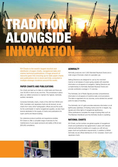
TRADITION<br />
ALONGSIDE<br />
INNOVATION<br />
<strong>KH</strong> Charts is the world’s largest stockist and<br />
distributor of paper charts, navigational data and<br />
marine technical publications. A huge amount of<br />
resource goes into ensuring up-to-date paper charts<br />
and publications are in stock and fully corrected in<br />
multiple strategic locations around the world.<br />
PAPER <strong>CHARTS</strong> <strong>AND</strong> PUBLICATIONS<br />
Our charts are kept up-to-date on a daily basis and there are<br />
over 50,000 in stock at any one time. The procedures in place<br />
allow our skilled correctors to maintain the highest, Admiralty<br />
audited, standards.<br />
Corrected Admiralty charts, charts of the USA from NOAA and<br />
AGA, Australian and Japanese charts are all stocked, as are<br />
charts from many other hydrographic offices around the world.<br />
As the world leader in marine navigational supplies, we also have<br />
brands dedicated to the supply of charts and publications for<br />
super yachts and leisure boating.<br />
Our extensive product portfolio and experience enables<br />
<strong>KH</strong> Charts to offer a complete range of services for the<br />
maintenance of your paper products and safety of life at sea<br />
(SOLAS) compliance.<br />
ADMIRALTY<br />
Admiralty produces over 3,300 Standard Nautical Charts and a<br />
wide range of thematic charts for specialist use.<br />
Sailing Directions are designed for use by the merchant<br />
mariner on all classes of ocean-going vessels with essential<br />
information on all aspects of navigation. Sailing Directions are<br />
complementary to Admiralty Standard Nautical Charts and<br />
provide worldwide coverage in 74 volumes.<br />
The Admiralty List of Radio Signals provides comprehensive<br />
information on all aspects of maritime radio communications.<br />
The data is organised into six volumes, some divided into several<br />
parts for ease of handling.<br />
The Admiralty List of Lights provides extensive information on all<br />
lighthouses, lightships, lit floating marks (over 8m in height), fog<br />
signals and other lights of navigational significance.<br />
Other publications complete the range including titles such as<br />
The Mariners Handbook and the Admiralty Guide to Updating.<br />
NATIONAL <strong>CHARTS</strong><br />
<strong>KH</strong> Charts, as the number one global supplier of navigational<br />
charts and publications has agreements in place with relevant<br />
national authorities to enable us to supply you with all your<br />
paper chart and publication requirements. In addition to British<br />
Admiralty we are official distributors of US, Canadian, Dutch and<br />
Japanese charts.