dynamic mineral resources management: anosy case ... - CommDev
dynamic mineral resources management: anosy case ... - CommDev
dynamic mineral resources management: anosy case ... - CommDev
You also want an ePaper? Increase the reach of your titles
YUMPU automatically turns print PDFs into web optimized ePapers that Google loves.
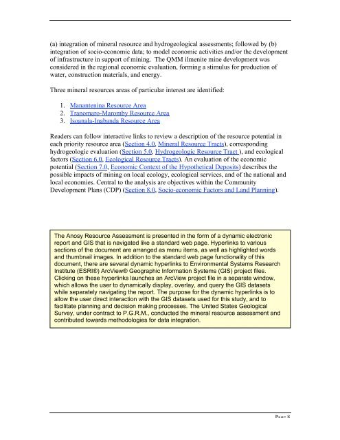
(a) integration of <strong>mineral</strong> resource and hydrogeological assessments; followed by (b)integration of socio-economic data; to model economic activities and/or the developmentof infrastructure in support of mining. The QMM ilmenite mine development wasconsidered in the regional economic evaluation, forming a stimulus for production ofwater, construction materials, and energy.Three <strong>mineral</strong> <strong>resources</strong> areas of particular interest are identified:1. Manantenina Resource Area2. Tranomaro-Maromby Resource Area3. Isoanala-Inabanda Resource AreaReaders can follow interactive links to review a description of the resource potential ineach priority resource area (Section 4.0, Mineral Resource Tracts), correspondinghydrogeologic evaluation (Section 5.0, Hydrogeologic Resource Tract ), and ecologicalfactors (Section 6.0, Ecological Resource Tracts). An evaluation of the economicpotential (Section 7.0, Economic Context of the Hypothetical Deposits) describes thepossible impacts of mining on local ecology, ecological services, and of the national andlocal economies. Central to the analysis are objectives within the CommunityDevelopment Plans (CDP) (Section 8.0, Socio-economic Factors and Land Planning).The Anosy Resource Assessment is presented in the form of a <strong>dynamic</strong> electronicreport and GIS that is navigated like a standard web page. Hyperlinks to varioussections of the document are arranged as menu items, as well as highlighted wordsand thumbnail images. In addition to the standard web page functionality of thisdocument, there are several <strong>dynamic</strong> hyperlinks to Environmental Systems ResearchInstitute (ESRI®) ArcView® Geographic Information Systems (GIS) project files.Clicking on these hyperlinks launches an ArcView project file in a separate window,which allows the user to <strong>dynamic</strong>ally display, overlay, and query the GIS datasetswhile separately navigating the report. The purpose for the <strong>dynamic</strong> hyperlinks is toallow the user direct interaction with the GIS datasets used for this study, and tofacilitate planning and decision making processes. The United States GeologicalSurvey, under contract to P.G.R.M., conducted the <strong>mineral</strong> resource assessment andcontributed towards methodologies for data integration.Page 8








![[PDF] Community Development Toolkit - CommDev](https://img.yumpu.com/48616495/1/184x260/pdf-community-development-toolkit-commdev.jpg?quality=85)
