guide 2000 English.pub - SNNPR Investment Expansion Process
guide 2000 English.pub - SNNPR Investment Expansion Process
guide 2000 English.pub - SNNPR Investment Expansion Process
You also want an ePaper? Increase the reach of your titles
YUMPU automatically turns print PDFs into web optimized ePapers that Google loves.
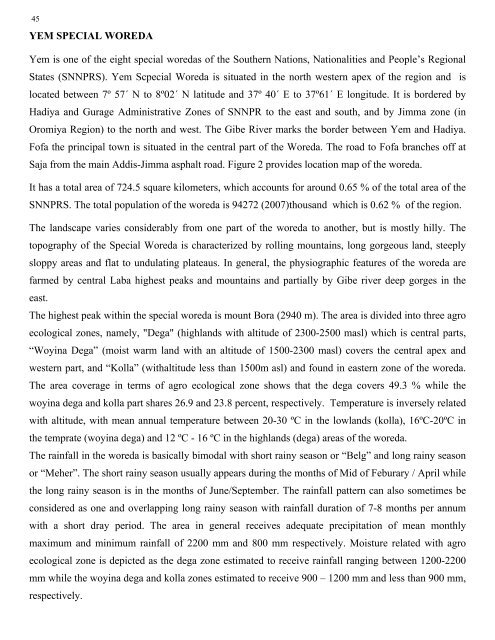
45YEM SPECIAL WOREDAYem is one of the eight special woredas of the Southern Nations, Nationalities and People’s RegionalStates (<strong>SNNPR</strong>S). Yem Scpecial Woreda is situated in the north western apex of the region and islocated between 7º 57´ N to 8º02´ N latitude and 37º 40´ E to 37º61´ E longitude. It is bordered byHadiya and Gurage Administrative Zones of <strong>SNNPR</strong> to the east and south, and by Jimma zone (inOromiya Region) to the north and west. The Gibe River marks the border between Yem and Hadiya.Fofa the principal town is situated in the central part of the Woreda. The road to Fofa branches off atSaja from the main Addis-Jimma asphalt road. Figure 2 provides location map of the woreda.It has a total area of 724.5 square kilometers, which accounts for around 0.65 % of the total area of the<strong>SNNPR</strong>S. The total population of the woreda is 94272 (2007)thousand which is 0.62 % of the region.The landscape varies considerably from one part of the woreda to another, but is mostly hilly. Thetopography of the Special Woreda is characterized by rolling mountains, long gorgeous land, steeplysloppy areas and flat to undulating plateaus. In general, the physiographic features of the woreda arefarmed by central Laba highest peaks and mountains and partially by Gibe river deep gorges in theeast.The highest peak within the special woreda is mount Bora (2940 m). The area is divided into three agroecological zones, namely, "Dega" (highlands with altitude of 2300-2500 masl) which is central parts,“Woyina Dega” (moist warm land with an altitude of 1500-2300 masl) covers the central apex andwestern part, and “Kolla” (withaltitude less than 1500m asl) and found in eastern zone of the woreda.The area coverage in terms of agro ecological zone shows that the dega covers 49.3 % while thewoyina dega and kolla part shares 26.9 and 23.8 percent, respectively. Temperature is inversely relatedwith altitude, with mean annual temperature between 20-30 ºC in the lowlands (kolla), 16ºC-20ºC inthe temprate (woyina dega) and 12 ºC - 16 ºC in the highlands (dega) areas of the woreda.The rainfall in the woreda is basically bimodal with short rainy season or “Belg” and long rainy seasonor “Meher”. The short rainy season usually appears during the months of Mid of Feburary / April whilethe long rainy season is in the months of June/September. The rainfall pattern can also sometimes beconsidered as one and overlapping long rainy season with rainfall duration of 7-8 months per annumwith a short dray period. The area in general receives adequate precipitation of mean monthlymaximum and minimum rainfall of 2200 mm and 800 mm respectively. Moisture related with agroecological zone is depicted as the dega zone estimated to receive rainfall ranging between 1200-2200mm while the woyina dega and kolla zones estimated to receive 900 – 1200 mm and less than 900 mm,MAY 2008respectively.AWASSA


