ISDI Metadata Profile - Department of Environment and Local ...
ISDI Metadata Profile - Department of Environment and Local ...
ISDI Metadata Profile - Department of Environment and Local ...

Create successful ePaper yourself
Turn your PDF publications into a flip-book with our unique Google optimized e-Paper software.
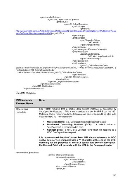
http://webservices.npws.ie/ArcGIS/services/WebServices/NPWSDesignatedAreas/MapServer/WMSServer?request=GetCapabilities&service=WMS OGC:WMS-1.3OGC Web Map Service (1.3)information…<strong>ISDI</strong> <strong>Metadata</strong>Element NameOperationsmetadataNoteISO 19119 requires that a spatial data service instance is described bySV_Operation<strong>Metadata</strong>. This is not m<strong>and</strong>atory under INSPIRE but the <strong>ISDI</strong><strong>Metadata</strong> <strong>Pr<strong>of</strong>ile</strong> recommends the following sub-elements should be filled in tomaximise ISO 19119 compliance:• Operation Name: e.g. GetCapabilties; GetMap; GetFeature• Distributed Computing Protocol (DCP): a default value <strong>of</strong>“webServices” is recommended here.• Connect point: a URL <strong>of</strong> a Connect Point which will respond to aOGC GetCapabilities requestIt is recommended that the Connect Point URL should reference an OGCspatial data service end-point with a ‘?’ character at the end <strong>of</strong> the URL.Generally for the purposes <strong>of</strong> the <strong>ISDI</strong> spatial data service description,the Connect Point will correlate with the URL in the Resource LocatorGetCapabilities55