Download - The Menno Simons routes - Doopsgezinde Monumenten
Download - The Menno Simons routes - Doopsgezinde Monumenten
Download - The Menno Simons routes - Doopsgezinde Monumenten

You also want an ePaper? Increase the reach of your titles
YUMPU automatically turns print PDFs into web optimized ePapers that Google loves.
18 In the local ‘Het Hannemanhuis’<br />
museum, amongst other things,<br />
one can find maritime paintings, a collection<br />
of tiles, and a room dedicated to<br />
the author Vestdijk (Voorstraat 56). <strong>The</strong><br />
Hannema family was a <strong>Menno</strong>nite<br />
family of influence. <strong>The</strong> latest descendant<br />
of this family living here, donated the<br />
house, including it’s museum, to the city.<br />
Harlingen, musuem garden<br />
19 Opposite to the museum, the<br />
Roeperssteeg is located. On the<br />
corner, you can find Simon Vestdijk’s<br />
birthplace (plaque). <strong>The</strong> Admonition of<br />
the Waterland <strong>Menno</strong>nites used to be<br />
further up the alley (Roeperssteeg no. 5).<br />
<strong>The</strong> stone tablet in the façade bearing<br />
the number 1631 is a reminder of the<br />
year when this conventicle was built. Up<br />
until 1695, ‘the Hut’ was used as a church<br />
by the Waterland <strong>Menno</strong>nites, and as a<br />
warehouse long after that. It is currently<br />
used as an apartment.<br />
20<br />
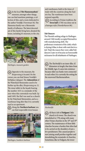
Along the Northern harbour you<br />
can find respectable town houses<br />
Harlingen, Southern harbour<br />
and warehouses, built in the times of<br />
trade with the countries along the Eastern<br />
Sea. <strong>The</strong> warehouses have been<br />
restored superbly.<br />
21 According to Frisian tradition, the<br />
Town hall (1730) was done out in<br />
a baroque style (Noorderhaven 86).<br />
Tub Dancers<br />
<strong>The</strong> Flemish seeking refuge in Harlingen<br />
around 1560 mostly occupied themselves<br />
with manufacturing cloth. <strong>The</strong><br />
preliminary treatment of the cloth, which<br />
is dyeing it blue, is done with one’s feet in a<br />
tub. That’s the reason they were called ‘tub<br />
dancers’. Later on it became an honourable<br />
nickname for all inhabitants of Harlingen.<br />
22 <strong>The</strong> Slachtedijk is an inner dike, 42<br />
kilometers in length, that dates from<br />
the Middle Ages. It came into existence<br />
because older sea-banks were connected<br />
to each other. It is currently the setting for<br />
the renowned Slachtemarathon.<br />
Slachtedijk<br />
23 All that is left of Firdgum’s little<br />
church is it’s tower. <strong>The</strong> church was<br />
demolished in 1794, along with many<br />
other Frisian churches in the 18th and 19th century. <strong>The</strong> maintenance of these little<br />
churches became a burden that often had<br />
to be carried on the shoulders of just a<br />
few parishioners.This caused people to<br />
start joining small parishes together and<br />
demolishing the remainder of churches.<br />
Sometimes, like in Firdgum, the tower<br />
Firdgum’s tower<br />
remained, and its bells continued to alert<br />
the people in case of emergency.<br />
24 And finally, the sea-bank, with the<br />
Wadden Sea behind it, is the most<br />
expansive nature reserve in the Netherlands.<br />
You can use the bank’s access<br />
points to enjoy the view over the lands<br />
outside the dikes from time to time. On<br />
the other side of the glistening water, the<br />
white tips of the dunes on the Wadden<br />
Islands can be seen.<br />
25 <strong>The</strong> Municipal polder Het Bildt is<br />
the ‘northern hell’ in the jargon of<br />
the 11-city skating race. <strong>The</strong> landscape is<br />
characterized by long, straight roads and<br />
ditches, and in winter, by bare fields. Even<br />
so, the view to a wide horizon also has it’s<br />
charm.<br />
Het Bildt at the bottom of the sea<br />
Het Bildt is a striking region. Being a<br />
distinct farming territory, it’s agrarian<br />
gold consists of seed-potatoes (e.g. the<br />
Bildtstar potato). Dead straight lines<br />
arrange the fields in large rectangles<br />
– as functional as can be. <strong>The</strong> lands<br />
that now form Het Bildt used to be<br />
the funnel-shaped estuary of the<br />
Central Sea, with Bolsward, Sneek<br />
and Leeuwarden at it’s banks. In the<br />
14 th century, the sea arm had been<br />
diked in, polder after polder, as far<br />
up as Berlikum. Albrecht of Saxony,<br />
Lord of Friesland, bought ‘het Bil’ – as<br />
the people of the mud-flats outside<br />
the dikes called it in 1498. His son,<br />
George of Saxony, brought in Dutch<br />
22 23<br />
noblemen to dike ‘het Bil’ in. <strong>The</strong><br />
noblemen brought an army of Dutch<br />
dike-workers, and with the Old 16<br />
kilometer Bildtdike, they dammed<br />
up the salt marshes of the Wadden<br />
Sea in 1508. <strong>The</strong> polder landscape<br />
was arranged to correspond with the<br />
Renaissance tastes of the times: it had<br />
to be purely geometrical, and efficiency<br />
was paramount. But Nature didn’t<br />
acknowledge it’s defeat everywhere:<br />
crooked ditches and waterways such<br />
as the Zuidhoestervaart and the Kleine<br />
Blikvaart are what remains of former<br />
channels.<br />
Dutch enclave<br />
Three villages were founded in the<br />
Old Bildt. <strong>The</strong>se were named after<br />
their church’s patron saints: St.<br />
Jacobi’s parish, St. Anna’s parish and<br />
Ladies’ parish. <strong>The</strong> polder was to be<br />
a Dutch enclave. <strong>The</strong> Dutch dikeworkers<br />
settled in the polder, and<br />
tenant farmers came from Holland,<br />
adding to the population. Even<br />
today, this can be noted in the Bildt<br />
dialect, which is a mixture of old<br />
Dutch words and a Frisian syntax.<br />
Once Friesland was finally rid of<br />
the Habsburgers and Spaniards in<br />
1579, the Friesland States claimed<br />
ownership of Het Bildt. Bank by<br />
bank, the sea was driven back farther<br />
to the north, by the Nieuwe Bildtdijk<br />
(1600), the Poldijk (1715) and the<br />
Noorderleegdijk (1754).