


Create successful ePaper yourself
Turn your PDF publications into a flip-book with our unique Google optimized e-Paper software.
More Street and Place Names<br />
Off the Midhurst Road are both Field Place and Fletchers Field.<br />
Field Place is built on part of the grounds where a large house of<br />
the same name once stood. It was formerly owned by John Coles<br />
who was the chairman of the parish council from 1902 to 1904.<br />
Coles’ distinguished career included serving as Map Curator and<br />
Scientific Instructor of the Royal Geographical Society. He<br />
wrote ‘Hints for Travellers’ and coached many famous Victorian<br />
explorers in mapping techniques. In 1902, the owners of<br />
Ludshott Manor and Downlands tried to close the footpaths on<br />
each side of the Waggoners Wells lakes, an area that local walkers<br />
know very well. Coles rallied his fellow councillors in a successful<br />
counter-movement - for which we all can be eternally grateful.<br />
The last owner of Field Place house was a Mrs. Fletcher - hence<br />
the street name, Fletchers Field.<br />
The street name, The Mead, which is off Tower Road, derives its<br />
name from Ratford Mead (i.e. Radford Meadow) which was the<br />
19th century name for the meadow alongside the River Wey<br />
between Radford Bridge and Tunbridge Lane.<br />
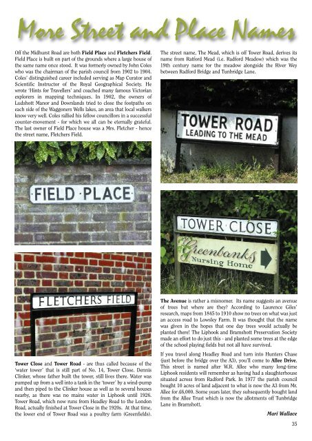
Tower Close and Tower Road - are thus called because of the<br />
‘water tower’ that is still part of No. 14, Tower Close. Dennis<br />
Clinker, whose father built the tower, still lives there. Water was<br />
pumped up from a well into a tank in the ‘tower’ by a wind-pump<br />
and then piped to the Clinker house as well as to several houses<br />
nearby, as there was no mains water in <strong>Liphook</strong> until 1926.<br />
Tower Road, which now runs from Headley Road to the London<br />
Road, actually finished at Tower Close in the 1920s. At that time,<br />
the lower end of Tower Road was a poultry farm (Greenfields).<br />
The Avenue is rather a misnomer. Its name suggests an avenue<br />
of trees but where are they? According to Laurence Giles’<br />
research, maps from 1845 to 1910 show no trees on what was just<br />
an access road to Lowsley Farm. It was thought that the name<br />
was given in the hopes that one day trees would actually be<br />
planted there! The <strong>Liphook</strong> and Bramshott Preservation Society<br />
made an effort to do just this - and planted some trees at the edge<br />
of the school playing fields but not all have survived.<br />
If you travel along Headley Road and turn into Hunters Chase<br />
(just before the bridge over the A3), you’ll come to Allee Drive.<br />
This street is named after W.R. Allee who many long-time<br />
<strong>Liphook</strong> residents will remember as having had a slaughterhouse<br />
situated across from Radford Park. In 1977 the parish council<br />
bought 10 acres of land adjacent to what is now the A3 from Mr.<br />
Allee for £6,000. Some years later, they subsequently bought land<br />
from the Allee Trust which is now the allotments off Tunbridge<br />
Lane in Bramshott.<br />
Mari Wallace<br />
35


