REPORT
ANJEC Report Summer 2011
ANJEC Report Summer 2011

You also want an ePaper? Increase the reach of your titles
YUMPU automatically turns print PDFs into web optimized ePapers that Google loves.
In a state surrounded by ocean, river<br />
and bay, New Jersey coastal residents are<br />
becoming keenly aware of full moon tides,<br />
Nor’easters and impassable roadways.<br />
Storm events create erosion and flooding<br />
of our barrier island and bay communities.<br />
Storm damage has been occurring more<br />
frequently and the costs of restoration and<br />
cleanup are rising. Experts conservatively<br />
predict that sea level will rise between<br />
seven and 14 inches in the next century.<br />
What can be done to mitigate the current<br />
and future damage to homes, businesses<br />
and the environment?<br />
ANJEC and three partners<br />
explored this question in a<br />
workshop held on April 11,<br />
entitled: “Sea-Level Rise: Are<br />
We Getting Wet Yet?”<br />
Discussing sea level rise<br />
impacts, State assistance to<br />
pilot towns along the coast<br />
and the biological necessity<br />
of New Jersey’s salt water and<br />
tidal marshes were Dr.<br />
Norbert Psuty, Rutgers University author<br />
and Director of the Sandy Hook Cooperative<br />
Research Program /Marine and<br />
Coastal Sciences; Dorina Frizzera, NJDEP<br />
Coastal Zone Management Program; and<br />
Danielle Kreeger, PhD, Partnership for the<br />
Delaware Estuary, with assistance from<br />
Lisa Auermuller of the Jacques Cousteau<br />
National Estuarine Research Reserve.<br />
There are many federal, state and nonprofit<br />
programs designed to assist coastal<br />
14 ANJEC <strong>REPORT</strong> - Summer 2011<br />
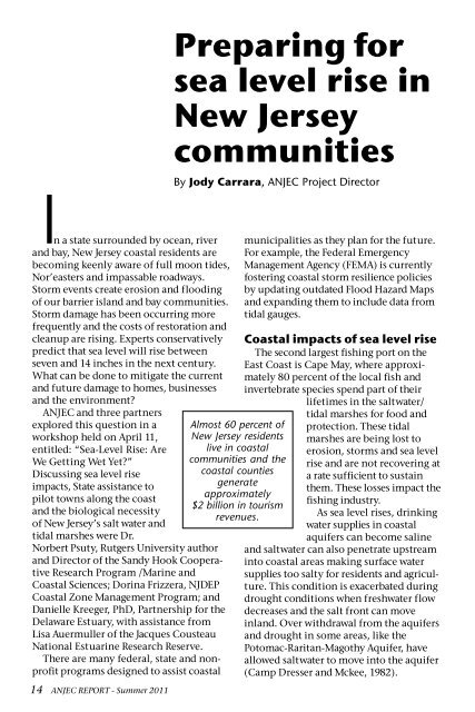
Preparing for<br />
sea level rise in<br />
New Jersey<br />
communities<br />
By Jody Carrara, ANJEC Project Director<br />
Almost 60 percent of<br />
New Jersey residents<br />
live in coastal<br />
communities and the<br />
coastal counties<br />
generate<br />
approximately<br />
$2 billion in tourism<br />
revenues.<br />
municipalities as they plan for the future.<br />
For example, the Federal Emergency<br />
Management Agency (FEMA) is currently<br />
fostering coastal storm resilience policies<br />
by updating outdated Flood Hazard Maps<br />
and expanding them to include data from<br />
tidal gauges.<br />
Coastal impacts of sea level rise<br />
The second largest fishing port on the<br />
East Coast is Cape May, where approximately<br />
80 percent of the local fish and<br />
invertebrate species spend part of their<br />
lifetimes in the saltwater/<br />
tidal marshes for food and<br />
protection. These tidal<br />
marshes are being lost to<br />
erosion, storms and sea level<br />
rise and are not recovering at<br />
a rate sufficient to sustain<br />
them. These losses impact the<br />
fishing industry.<br />
As sea level rises, drinking<br />
water supplies in coastal<br />
aquifers can become saline<br />
and saltwater can also penetrate upstream<br />
into coastal areas making surface water<br />
supplies too salty for residents and agriculture.<br />
This condition is exacerbated during<br />
drought conditions when freshwater flow<br />
decreases and the salt front can move<br />
inland. Over withdrawal from the aquifers<br />
and drought in some areas, like the<br />
Potomac-Raritan-Magothy Aquifer, have<br />
allowed saltwater to move into the aquifer<br />
(Camp Dresser and Mckee, 1982).