

Esri Training
course-catalog-2016
course-catalog-2016

You also want an ePaper? Increase the reach of your titles
YUMPU automatically turns print PDFs into web optimized ePapers that Google loves.
Course Design<br />
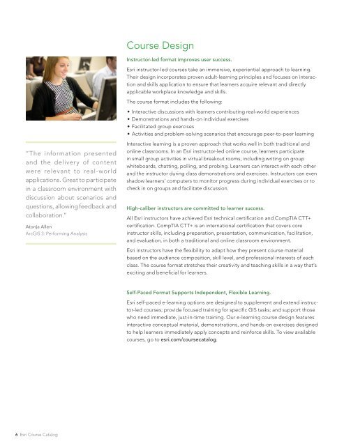
Instructor-led format improves user success.<br />
<strong>Esri</strong> instructor-led courses take an immersive, experiential approach to learning.<br />
Their design incorporates proven adult-learning principles and focuses on interaction<br />
and skills application to ensure that learners acquire relevant and directly<br />
applicable workplace knowledge and skills.<br />
The course format includes the following:<br />
••<br />
Interactive discussions with learners contributing real-world experiences<br />
••<br />
Demonstrations and hands-on individual exercises<br />
••<br />
Facilitated group exercises<br />
••<br />
Activities and problem-solving scenarios that encourage peer-to-peer learning<br />
“The information presented<br />
and the delivery of content<br />
were relevant to real-world<br />
applications. Great to participate<br />
in a classroom environment with<br />
discussion about scenarios and<br />
questions, allowing feedback and<br />
collaboration.”<br />
Atonja Allen<br />
ArcGIS 3: Performing Analysis<br />
Interactive learning is a proven approach that works well in both traditional and<br />
online classrooms. In an <strong>Esri</strong> instructor-led online course, learners participate<br />
in small group activities in virtual breakout rooms, including writing on group<br />
whiteboards, chatting, polling, and probing. Learners can interact with each other<br />
and the instructor during class demonstrations and exercises. Instructors can even<br />
shadow learners’ computers to monitor progress during individual exercises or to<br />
check in on groups and facilitate discussion.<br />
High-caliber instructors are committed to learner success.<br />
All <strong>Esri</strong> instructors have achieved <strong>Esri</strong> technical certification and CompTIA CTT+<br />
certification. CompTIA CTT+ is an international certification that covers core<br />
instructor skills, including preparation, presentation, communication, facilitation,<br />
and evaluation, in both a traditional and online classroom environment.<br />
<strong>Esri</strong> instructors have the flexibility to adapt how they present course material<br />
based on the audience composition, skill level, and professional interests of each<br />
class. The course format stretches their creativity and teaching skills in a way that’s<br />
exciting and beneficial for learners.<br />
Self-Paced Format Supports Independent, Flexible Learning.<br />
<strong>Esri</strong> self-paced e-learning options are designed to supplement and extend instructor-led<br />
courses; provide focused training for specific GIS tasks; and support those<br />
who need immediate, just-in-time training. Our e-learning course design features<br />
interactive conceptual material, demonstrations, and hands-on exercises designed<br />
to help learners immediately apply concepts and reinforce skills. To view available<br />
courses, go to esri.com/coursecatalog.<br />
6 <strong>Esri</strong> Course Catalog