Groundwater
Bulletin_118_Interim_Update_2016
Bulletin_118_Interim_Update_2016

You also want an ePaper? Increase the reach of your titles
YUMPU automatically turns print PDFs into web optimized ePapers that Google loves.
I N T E R I M U P D A T E 2 0 1 6<br />
TABLE 2 – Relative Scope of Boundary Modifications for Each <strong>Groundwater</strong><br />
Basin Identified as Subject to Critical Conditions of Overdraft<br />
Basin Numbera<br />
Basin<br />
Number<br />
(2016)<br />
Basin/Subbasin Name<br />
(2016)<br />
Relative Scope<br />
of Changesb<br />
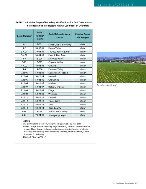
Agriculture near Oxnard<br />
3-1 3-001 Santa Cruz Mid-County c Major<br />
3-2 3-002.01 Pajaro Valley Major<br />
3-4.01 3-004.01 180/400-Foot Aquifer Major<br />
3-4.06 3-004.06 Paso Robles Area Major<br />
3-8 3-008 Los Osos Valley Minor<br />
3-13 3-013 Cuyama Valley None<br />
4-4.02 4-004.02 Oxnard Minor<br />
4-6 4-006 Pleasant Valley Minor<br />
5-22.01 5-022.01 Eastern San Joaquin Minor<br />
5-22.04 5-022.04 Merced Minor<br />
5-22.05 5-022.05 Chowchilla Minor<br />
5-22.06 5-022.06 Madera Minor<br />
5-22.07 5-022.07 Delta-Mendota Minor<br />
7-24 7-024.01 Borrego Springs d Major<br />
5-22.08 5-022.08 Kings Minor<br />
5-22.09 5-022.09 Westside Minor<br />
5-22.11 5-022.11 Kaweah Minor<br />
5-22.12 5-022.12 Tulare Lake Minor<br />
5-22.13 5-022.13 Tule Minor<br />
5-22.14 5-022.14 Kern County Major<br />
6-54 6-054 Indian Wells Valley None<br />
NOTES<br />
a As identified in Bulletin 118, California’s <strong>Groundwater</strong>, Update 2003.<br />
b Major changes involved relatively large areas being added to, or removed from,<br />
a basin. Minor changes included small adjustments in the location of a basin<br />
boundary and relatively small areas being added to, or removed from, a basin.<br />
c Formerly “Soquel Valley”.<br />
d Formerly “Borrego Valley”.<br />
Working Toward Sustainability | 13