Create successful ePaper yourself
Turn your PDF publications into a flip-book with our unique Google optimized e-Paper software.
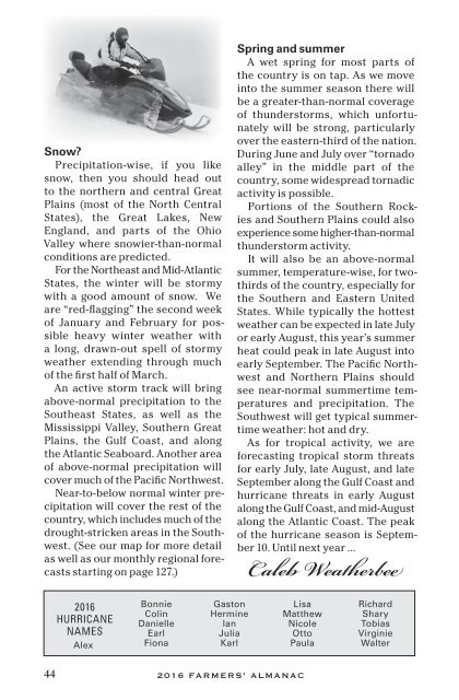
Snow?<br />
Precipitation-wise, if you like<br />
snow, then you should head out<br />
to the northern and central Great<br />
Plains (most of the North Central<br />
States), the Great Lakes, New<br />
England, and parts of the Ohio<br />
Valley where snowier-than-normal<br />
conditions are predicted.<br />
For the Northeast and Mid-Atlantic<br />
States, the winter will be stormy<br />
with a good amount of snow. We<br />
are “red-flagging” the second week<br />
of January and February for possible<br />
heavy winter weather with<br />
a long, drawn-out spell of stormy<br />
weather extending through much<br />
of the first half of March.<br />
An active storm track will bring<br />
above-normal precipitation to the<br />
Southeast States, as well as the<br />
Mississippi Valley, Southern Great<br />
Plains, the Gulf Coast, and along<br />
the Atlantic Seaboard. Another area<br />
of above-normal precipitation will<br />
cover much of the Pacific Northwest.<br />
Near-to-below normal winter precipitation<br />
will cover the rest of the<br />
country, which includes much of the<br />
drought-stricken areas in the Southwest.<br />
(See our map for more detail<br />
as well as our monthly regional forecasts<br />
starting on page 127.)<br />
Spring and summer<br />
A wet spring for most parts of<br />
the country is on tap. As we move<br />
into the summer season there will<br />
be a greater-than-normal coverage<br />
of thunderstorms, which unfortunately<br />
will be strong, particularly<br />
over the eastern-third of the nation.<br />
During June and July over “tornado<br />
alley” in the middle part of the<br />
country, some widespread tornadic<br />
activity is possible.<br />
Portions of the Southern Rockies<br />
and Southern Plains could also<br />
experience some higher-than-normal<br />
thunderstorm activity.<br />
It will also be an above-normal<br />
summer, temperature-wise, for twothirds<br />
of the country, especially for<br />
the Southern and Eastern United<br />
States. While typically the hottest<br />
weather can be expected in late July<br />
or early August, this year’s summer<br />
heat could peak in late August into<br />
early September. The Pacific Northwest<br />
and Northern Plains should<br />
see near-normal summertime temperatures<br />
and precipitation. The<br />
Southwest will get typical summertime<br />
weather: hot and dry.<br />
As for tropical activity, we are<br />
forecasting tropical storm threats<br />
for early July, late August, and late<br />
September along the Gulf Coast and<br />
hurricane threats in early August<br />
along the Gulf Coast, and mid-August<br />
along the Atlantic Coast. The peak<br />
of the hurricane season is September<br />
10. Until next year ...<br />
Caleb Weatherbee<br />
<strong>2016</strong><br />
HURRICANE<br />
NAMES<br />
Alex<br />
Bonnie<br />
Colin<br />
Danielle<br />
Earl<br />
Fiona<br />
Gaston<br />
Hermine<br />
Ian<br />
Julia<br />
Karl<br />
Lisa<br />
Matthew<br />
Nicole<br />
Otto<br />
Paula<br />
Richard<br />
Shary<br />
Tobias<br />
Virginie<br />
Walter<br />
44 <strong>2016</strong> FARMERS’ ALMANAC


