Devil s Postpile Trail Map (Tom Harrison Maps)
Devil s Postpile Trail Map (Tom Harrison Maps)
Devil s Postpile Trail Map (Tom Harrison Maps)

Create successful ePaper yourself
Turn your PDF publications into a flip-book with our unique Google optimized e-Paper software.
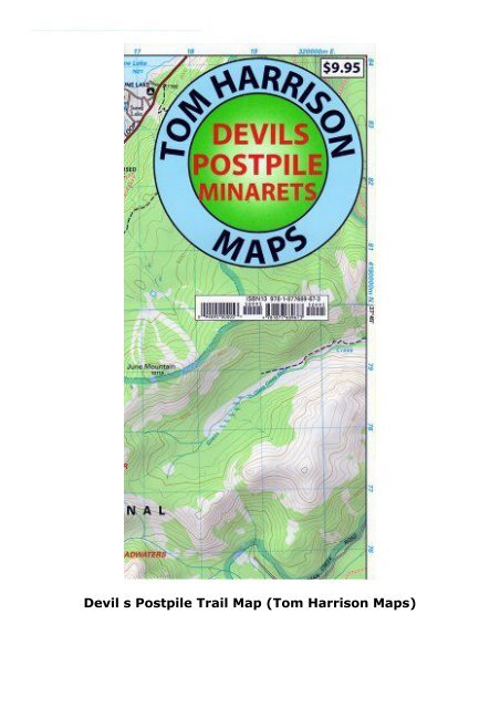
<strong>Devil</strong> s <strong>Postpile</strong> <strong>Trail</strong> <strong>Map</strong> (<strong>Tom</strong> <strong>Harrison</strong> <strong>Map</strong>s) (<strong>Tom</strong> <strong>Harrison</strong>) <strong>Devil</strong>s <strong>Postpile</strong> is one of the most interesting, easy access sites in the Eastern Sierra Nevada, California. This shaded relief topo map, printed on waterproof and tear resistant material contains information of all official trails in the area. Included in the map are; Gem Lake, Minarets, Garnet Lake, Ritter Range, Rainbow Falls, June Mountain, Thousand Island Lake, Agnew Meadow, and more. Scale, 1:39,600 (1 inch represents 5/8 mile), contour interval 80 feet, UTM zone 11<br />
<strong>Devil</strong> s <strong>Postpile</strong> <strong>Trail</strong> <strong>Map</strong> (<strong>Tom</strong> <strong>Harrison</strong> <strong>Map</strong>s)