New England Trail Map Guide
New England Trail Map Guide
New England Trail Map Guide

Create successful ePaper yourself
Turn your PDF publications into a flip-book with our unique Google optimized e-Paper software.
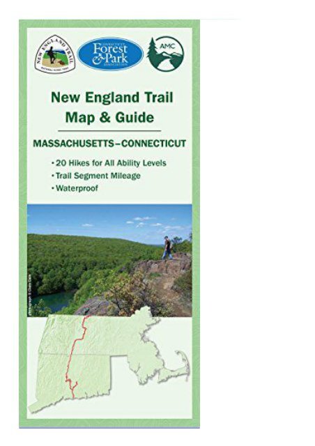
<strong>New</strong> <strong>England</strong> <strong>Trail</strong> <strong>Map</strong> <strong>Guide</strong> (Appalachian Mountain Club Books) This two-map set is the indispensable day-hiker s companion to the entire 215-mile-long <strong>New</strong> <strong>England</strong> National Scenic <strong>Trail</strong>. Following portions of the Metacomet and Mattabesett trails, the <strong>New</strong> <strong>England</strong> <strong>Trail</strong>, as it s known colloquially, extends up the center of Connecticut and Massachusetts, from Long Island Sound to the <strong>New</strong> Hampshire border. The map and guide pairs two topographical trail maps one for each state with relevant information such as safety tips, Leave No Trace, natural history, and more. Twenty suggested hikes include; Ragged Mountain Preserve,Bluff Head, and Seven Falls in Connecticut; andMount Tom,Royalston Falls,and Erving Ledges-Hermit Mountain in Massachusetts.A collaboration between the trail s maintaineers the Appalachian Mountain Club and the Connecticut Forest &Park Association in conjunction with the National Park Service, this map and guide is the ultimate resource for anyone seeking to day hike or thru hike this stunningly beautiful National Scenic <strong>Trail</strong>.Scale 1:63360 or 1 inch = 1 mile


![Corsica [France] (National Geographic Adventure Map)](https://img.yumpu.com/59274350/1/184x260/corsica-france-national-geographic-adventure-map.jpg?quality=85)