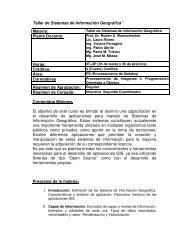
Taller de Sistemas de Información Geográfica
Taller de Sistemas de Información Geográfica
Taller de Sistemas de Información Geográfica
SHOW LESS

You also want an ePaper? Increase the reach of your titles
YUMPU automatically turns print PDFs into web optimized ePapers that Google loves.
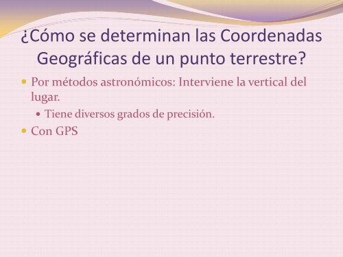
¿Cómo se <strong>de</strong>terminan las Coor<strong>de</strong>nadas<br />
<strong>Geográfica</strong>s <strong>de</strong> un punto terrestre?<br />
Por métodos astronómicos: Interviene la vertical <strong>de</strong>l<br />
lugar.<br />
Tiene diversos grados <strong>de</strong> precisión.<br />
Con GPS


![Clase 13 [pdf]](https://img.yumpu.com/19616969/1/190x245/clase-13-pdf.jpg?quality=85)